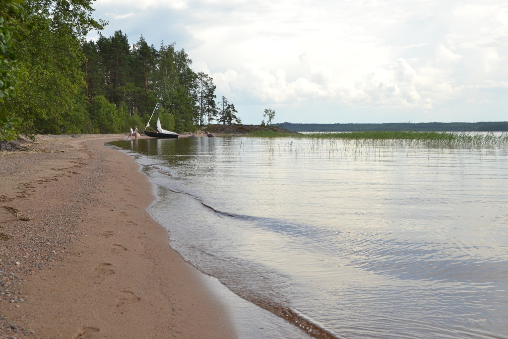
Hietasaari
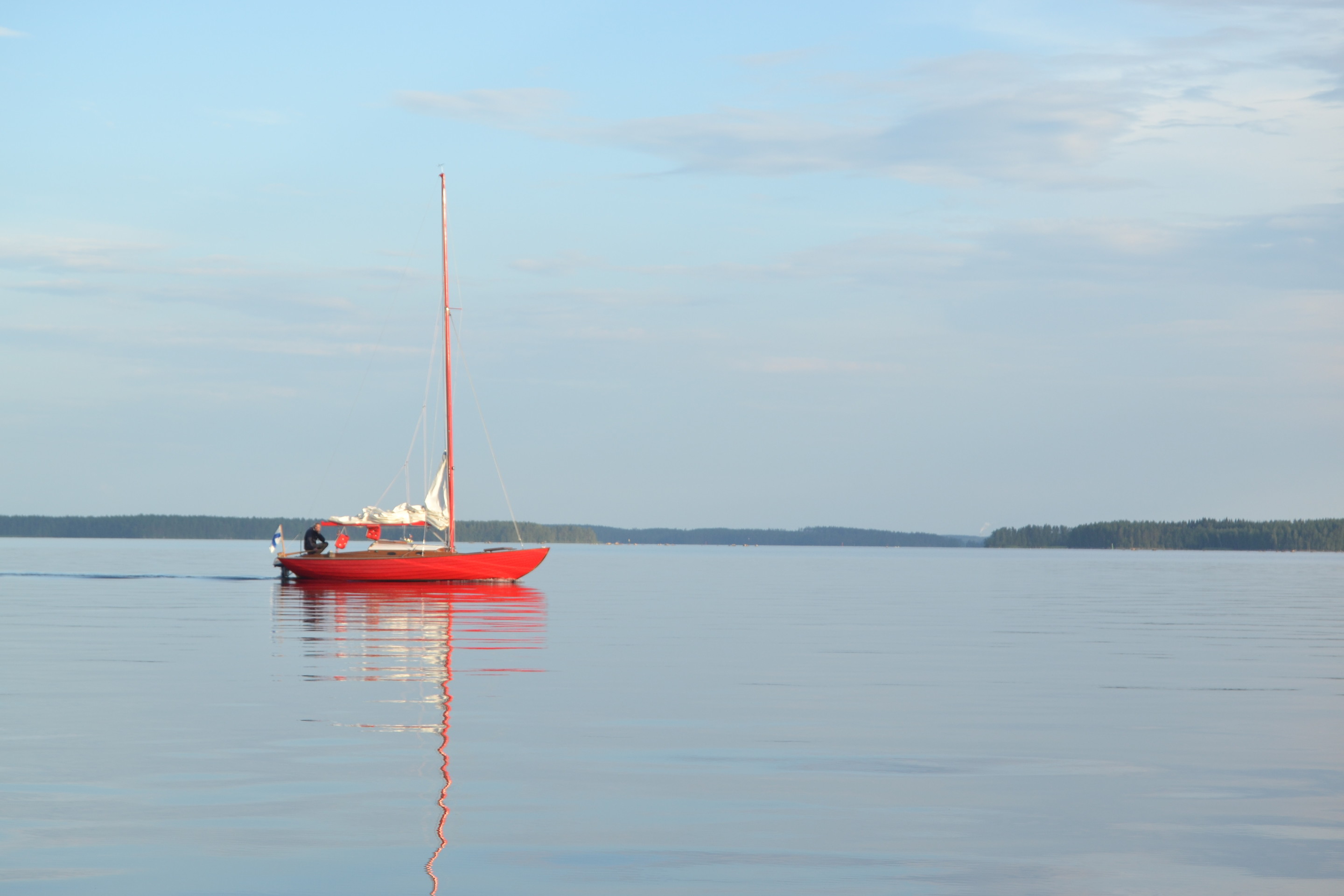
We chose to sail in the northern part of Saimaa (counting Saimaa as the water area south of Puumala). Nice crosswind took is to Hietasaari, where our time was used for eating, swimming and exploring the island. Name “Hietasaari” can be translated as Sandy Island, that represents the island well, because it consists of many beaches but also of big rocks. During the afternoon it was thundering far, but fortunately Hietasaari area didn’t get any rain or lightning, although wind was stormy for some time.
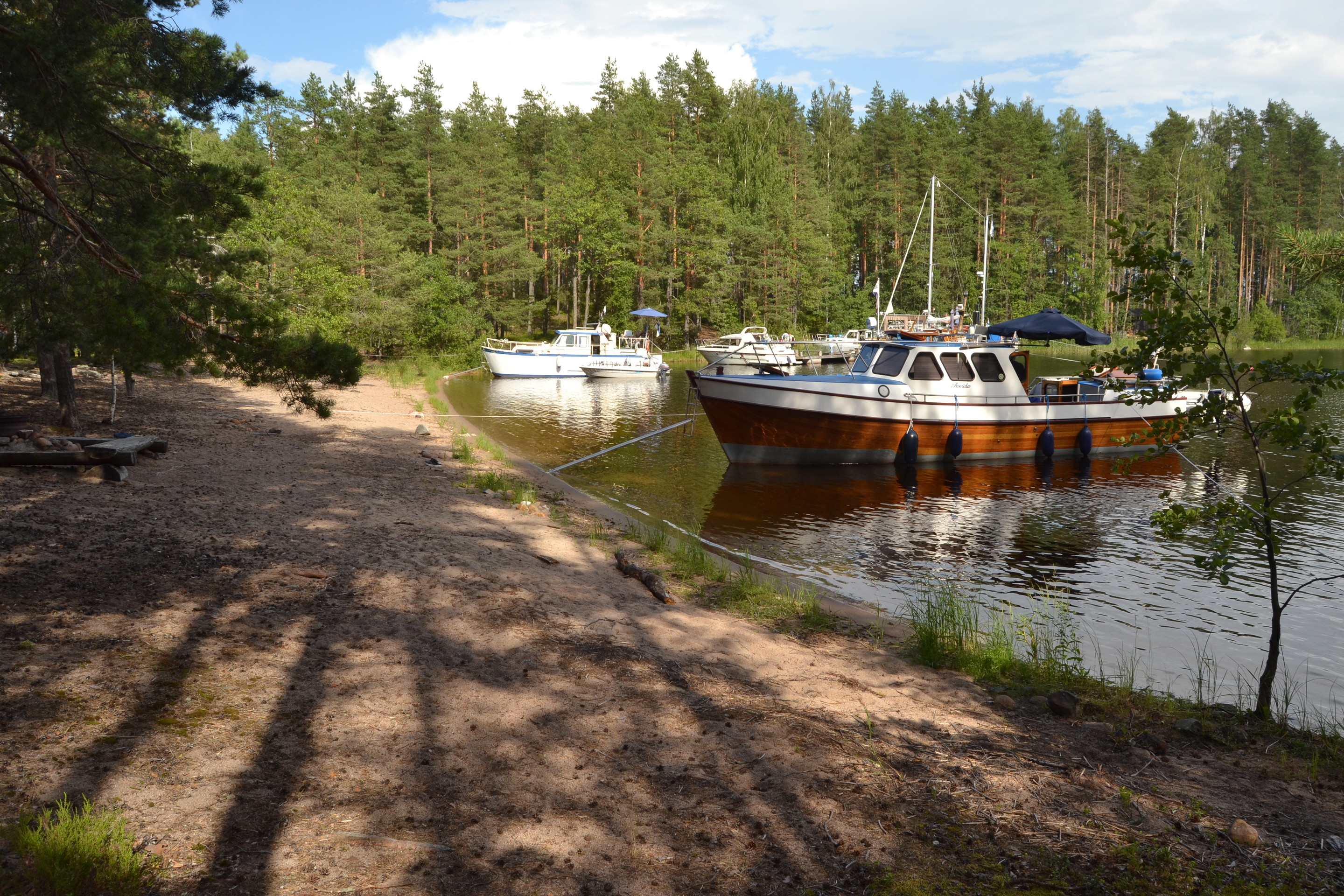
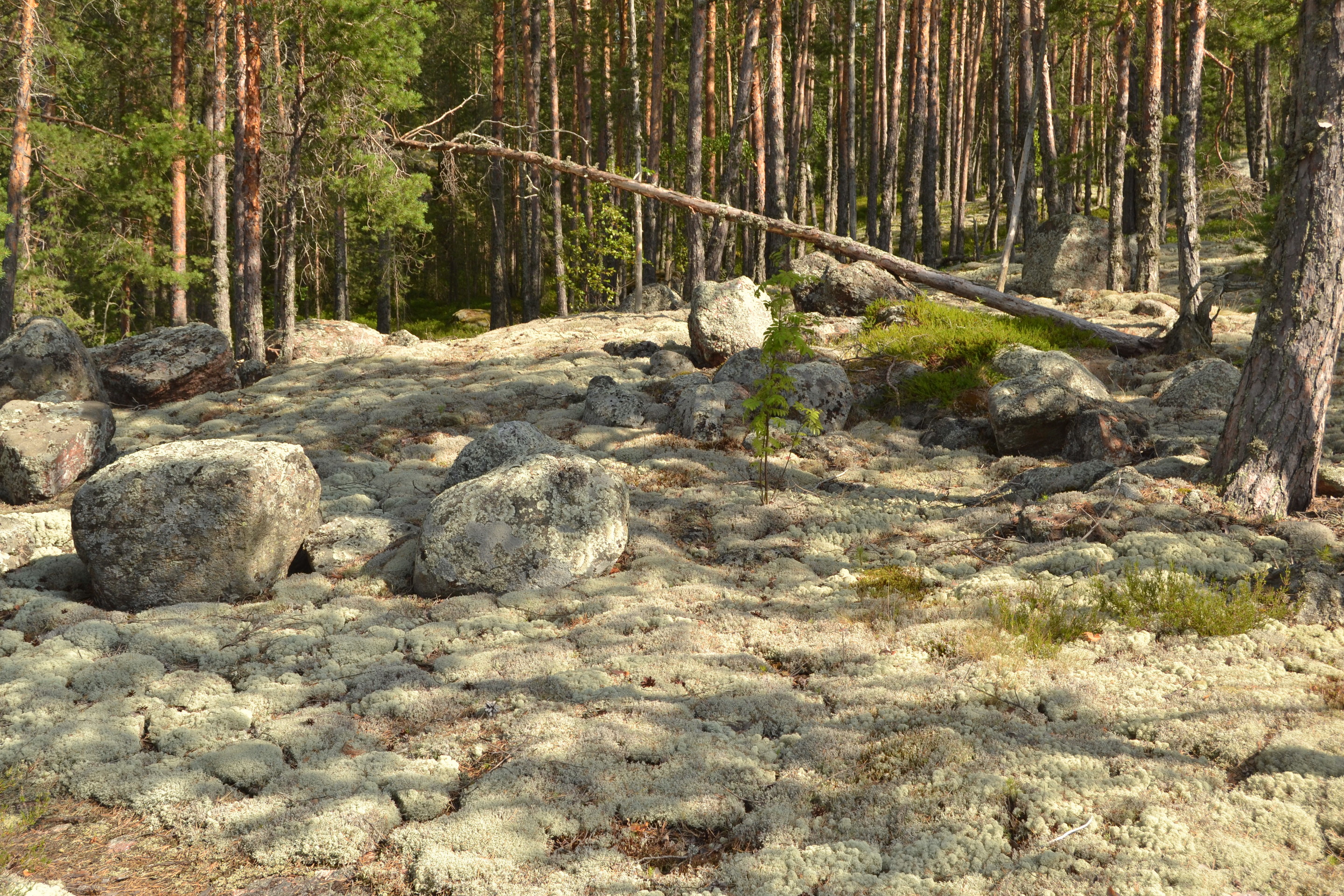
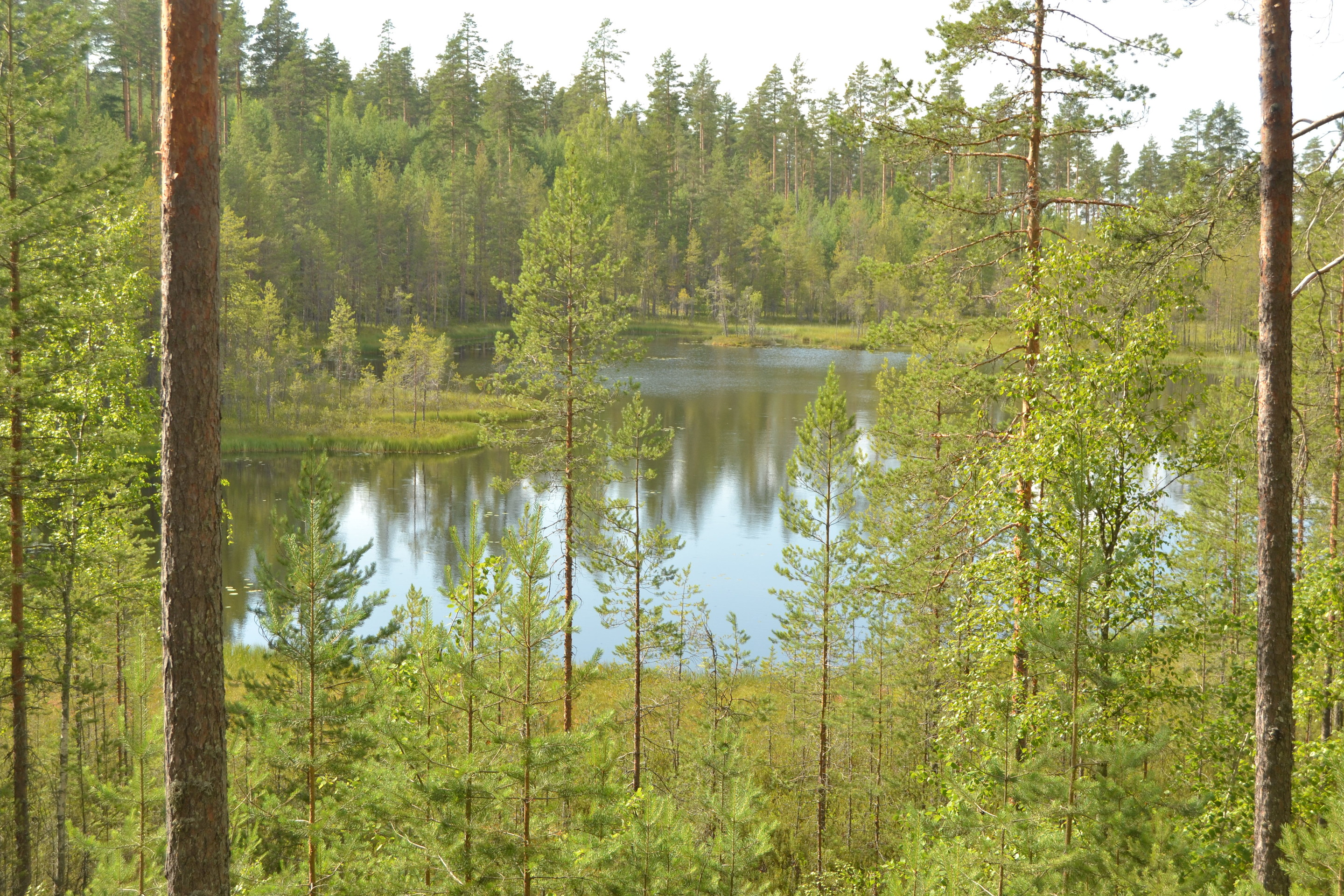
I like the northern Saimaa area, because waters there are clearer and deeper than in the south. The deepest spot of Saimaa is located in Myhkiönselkä (west from Myhkiönluodot islets), where water depth is 71 metres. Also, the northern waters are less well-known area for me, that makes it easy to find new interesting places. The Kyläniemi nature is fascinating by many ways.
Return trip was peaceful, especially because wind died totally by the evening. We paddled our dinghy for some nautical miles. It’s possible to get a outboard for Wayfarer, but myself I appreciate silence and nature sounds more, that’s a counterbalance for the modern life full of efficiency and techology. Well, it has to be admitted, that I value technology enough, to follow the location in Navionics map application…
The trip was excellent once again. The Finnish summer beats holidays abroad easily.
Hieno retkipäivä oli jälleen. Kyllä Suomen suvi peittoaa ulkomaanmatkat mennen tullen.