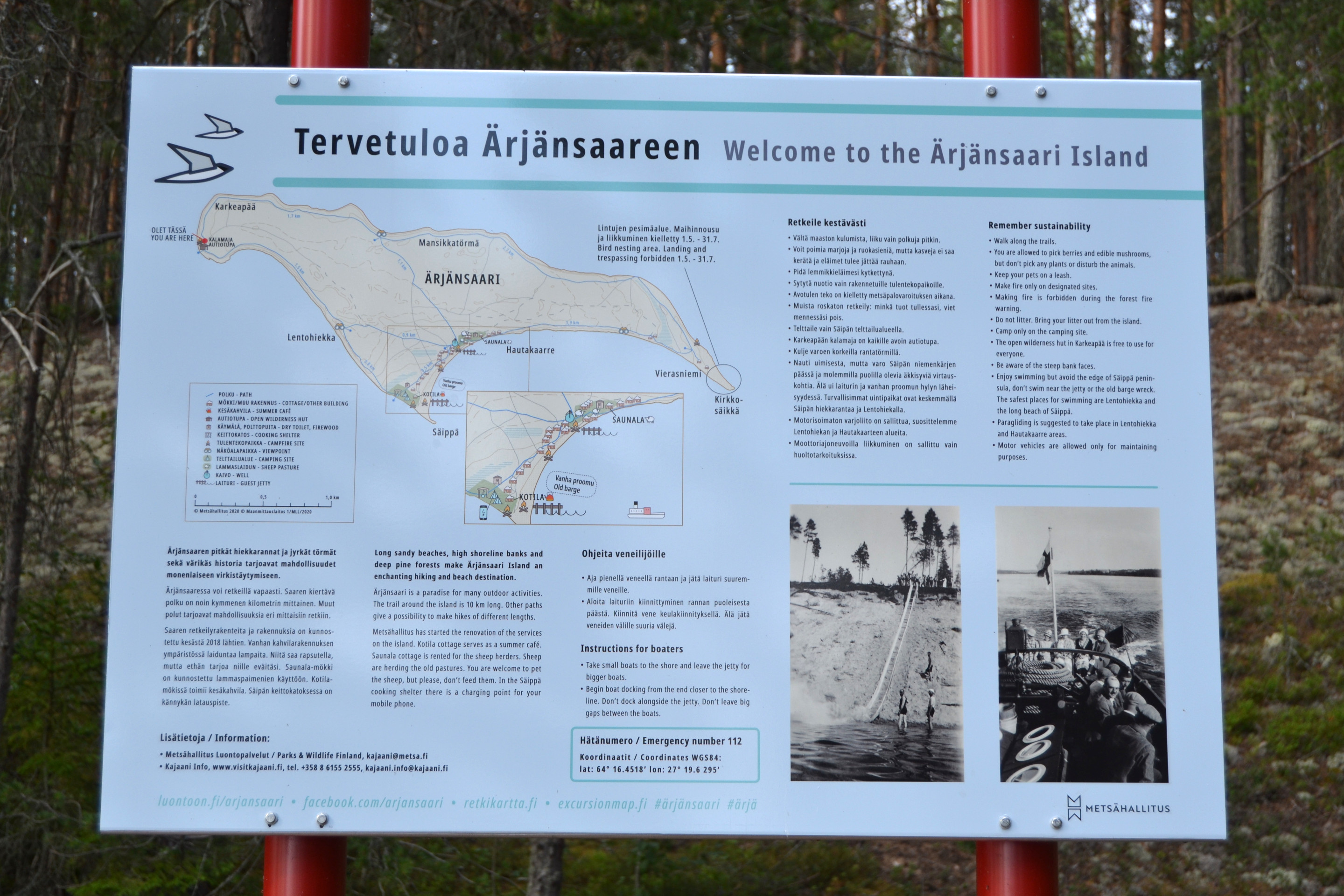
Ärjänsaari
Oulujärvi (also known as Lake Oulu) had been in my list for several years, but we couldn’t find the right time and right weather for the trip. However, during the July heat, my wife and I finally decided to make a weekend trip there just the two of us.
We started driving north after work on Friday. Since going sailing at night after a long drive was not very tempting, we decided to spend the night closer to Oulujärvi, and set sail on Saturday morning.
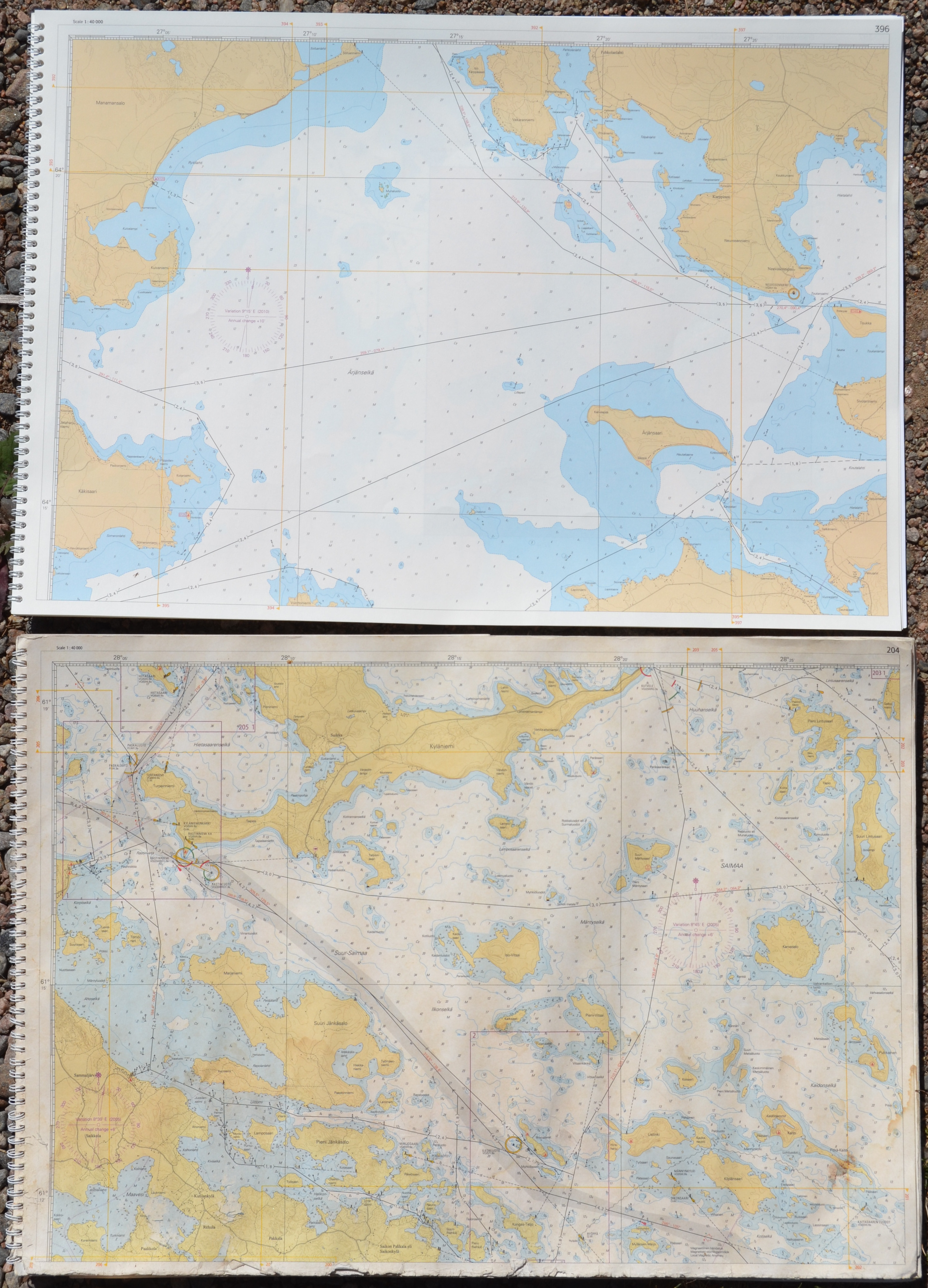
As the weather forecast predicted rather light easterly breeze for Saturday, we chose Kuusiranta harbour on the southern edge of Oulujärvi as our starting point. It was one of the closest harbours by car and the journey to Ärjänsaari would not be unreasonable if it was calm.
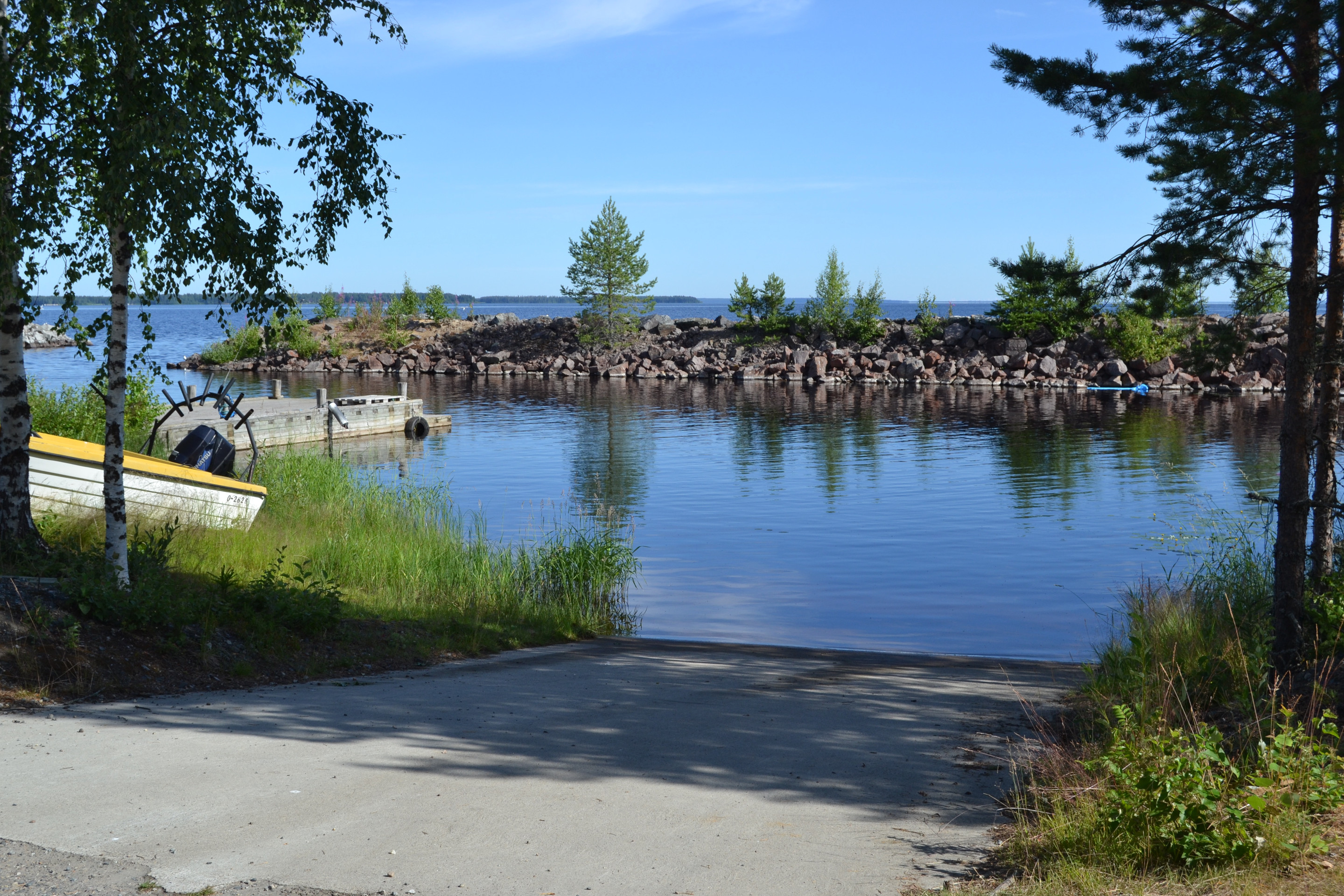
The small fishing harbour at Kuusiranta was quite a positive surprise. The slipway was a gently sloping concrete ramp, which made it easy to launch the boat, even though the quay was not next to it. The dock was lined with sturdy breakwaters, which should keep even the biggest storms at bay.
We launched the boat and set sail. In the beginning we had a nice breeze, which moved the boat forward at almost four knots.
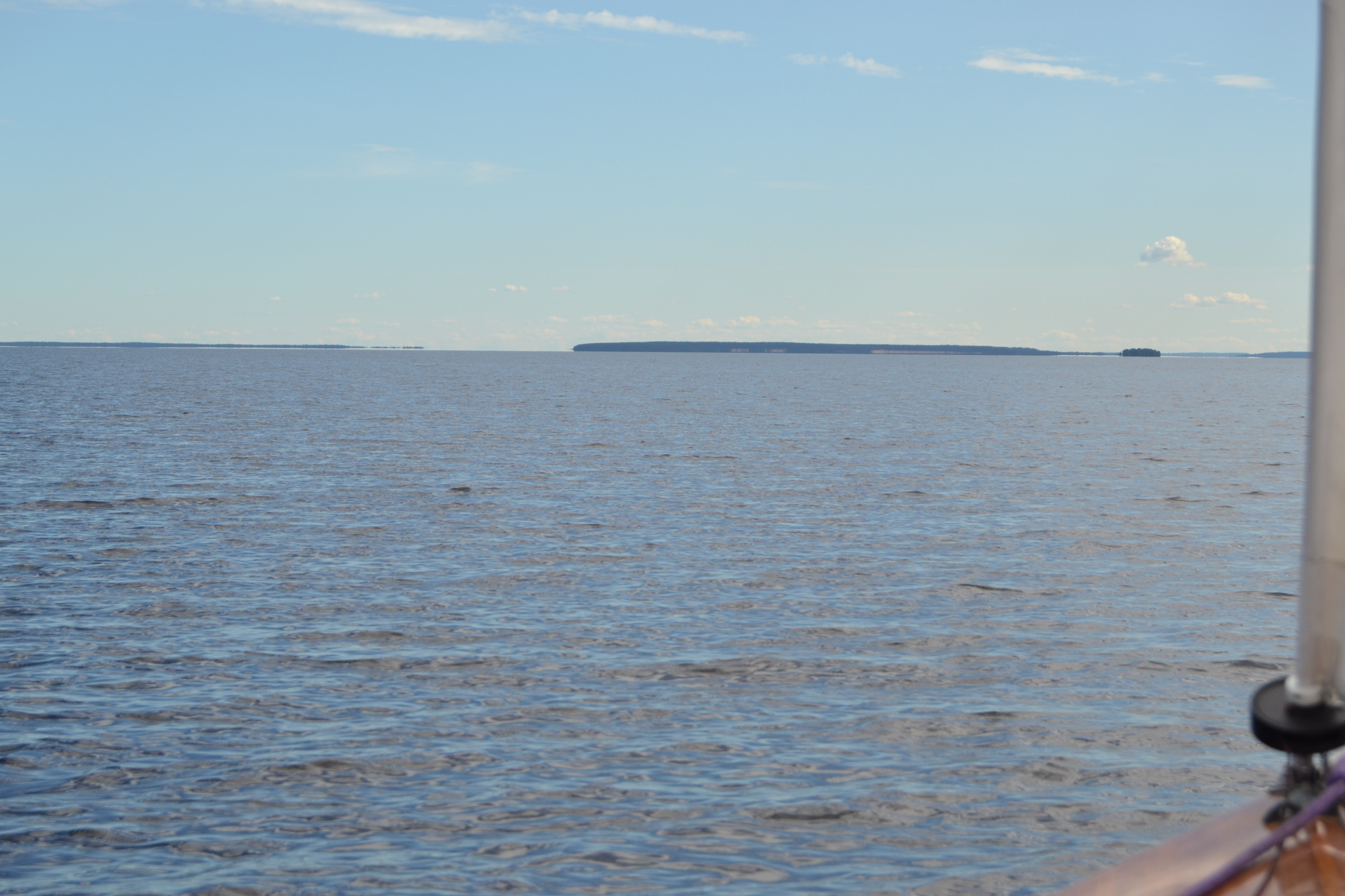
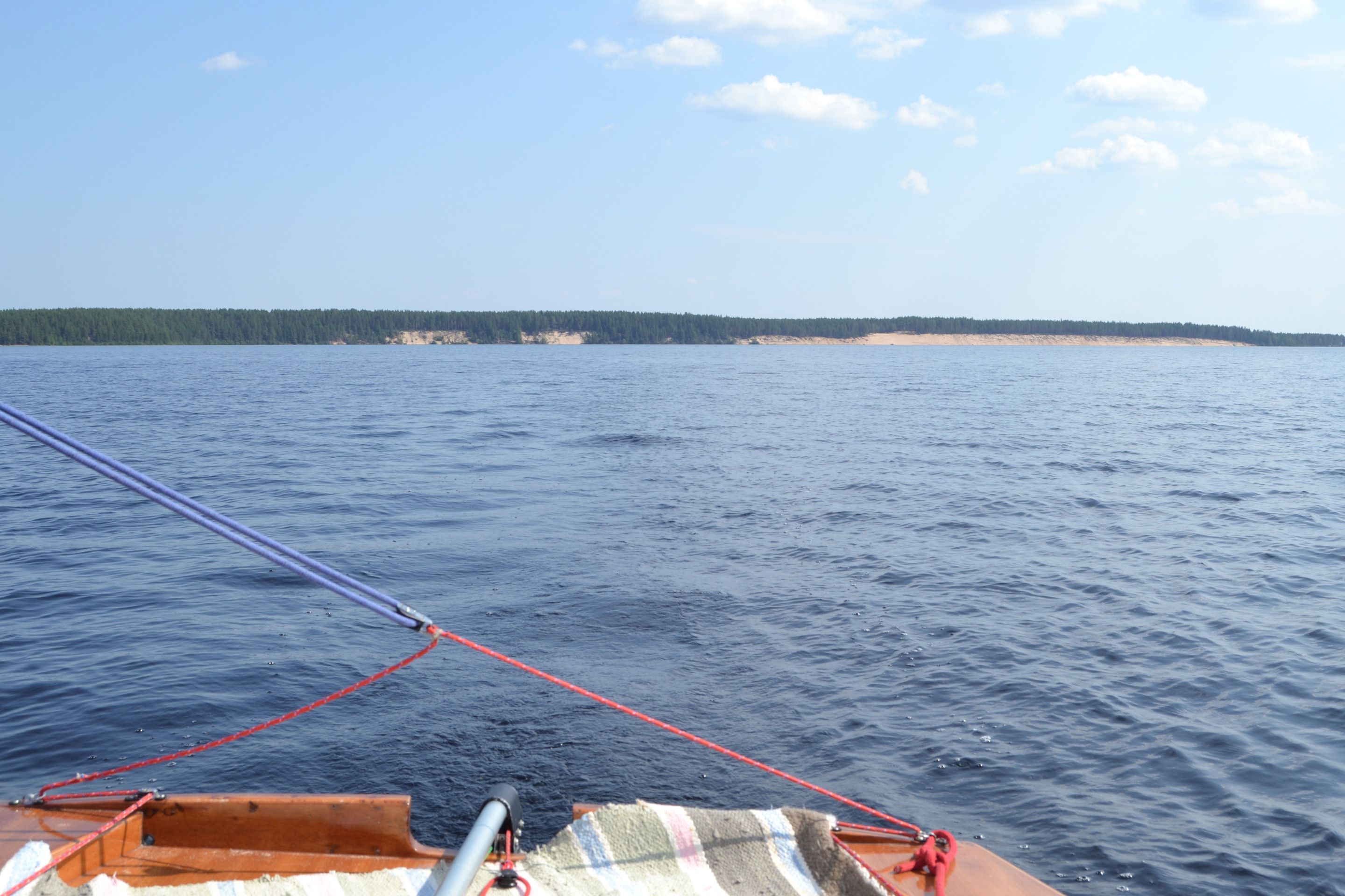
Ärjänsaari island, our destination, became visible quite soon after leaving port. It appeared to be much closer than it actually was, as the island has a remarkably high profile, which makes it visible in the distance.
Sailing on the southern side of Ärjänselkä, the wind died down to about two knots around noon, but fortunately it didn’t last long. Luckily, the sky was cloudy all the way south, so there was no need to suffer record-breaking heat in the boat. We measured a water temperature of 22.5°C on Ärjänselkä, which is pretty warm for Finland’s northern lakes.

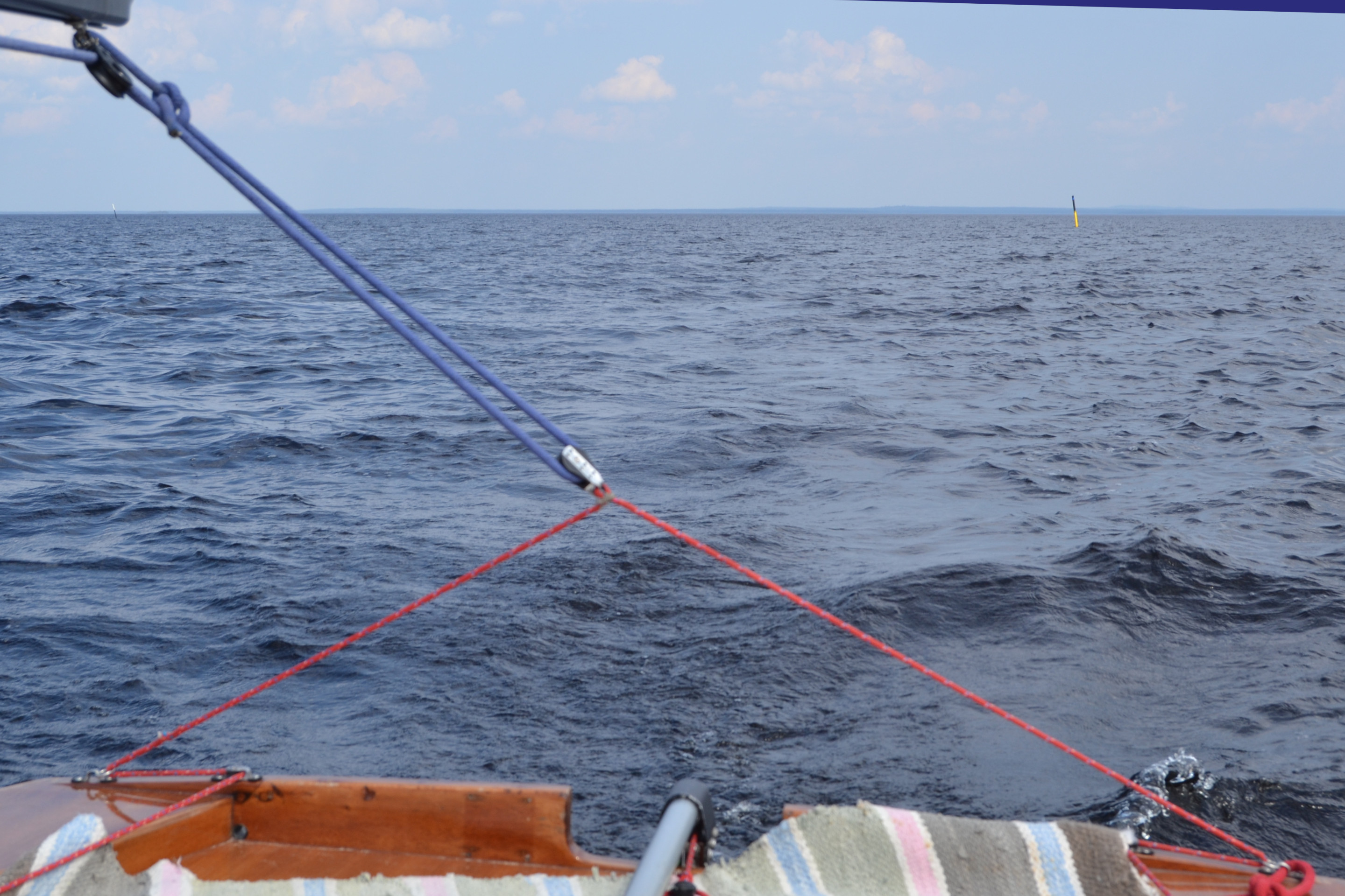
On this trip, navigation was done purely by paper chart and compass, as electronic navigation was out of order. As such, it was quite nice to use traditional methods of position fixing to aid navigation. On Oulujärvi there were not too many landmarks, as the open waters there are huge compared to, for example, Lake Saimaa. Perhaps that is why Oulujärvi is also called the “Kainuu Sea”.
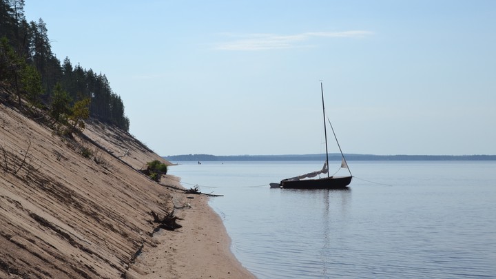
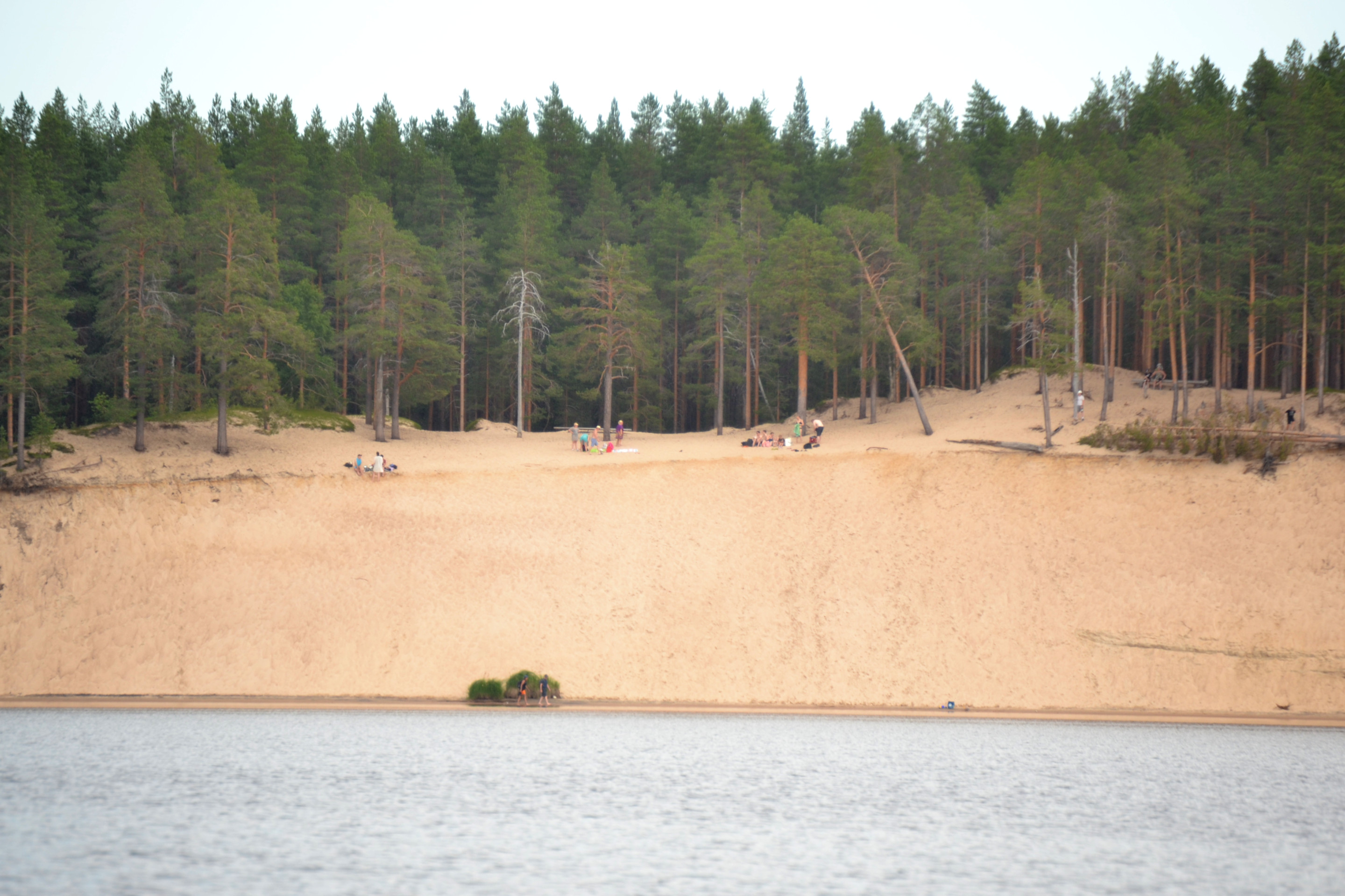
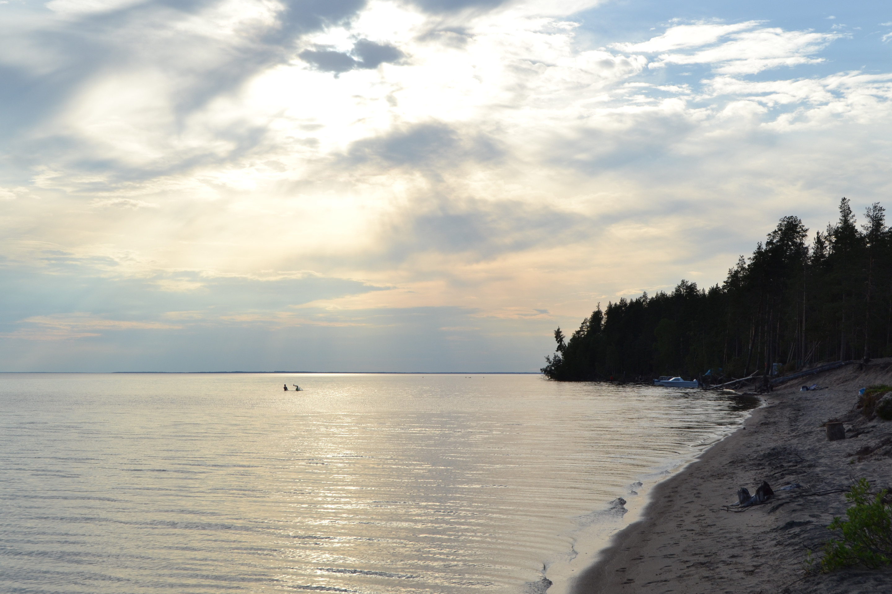
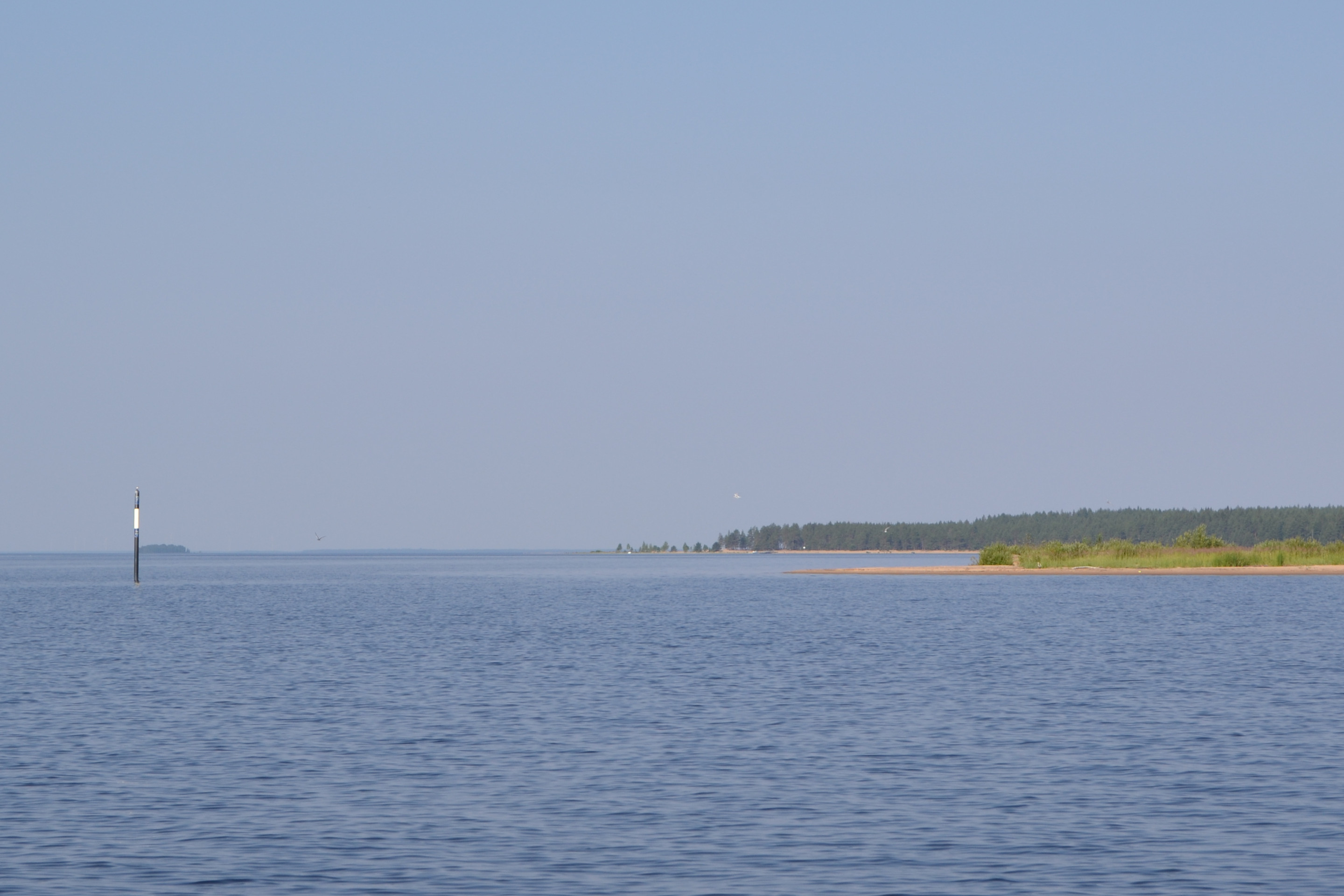
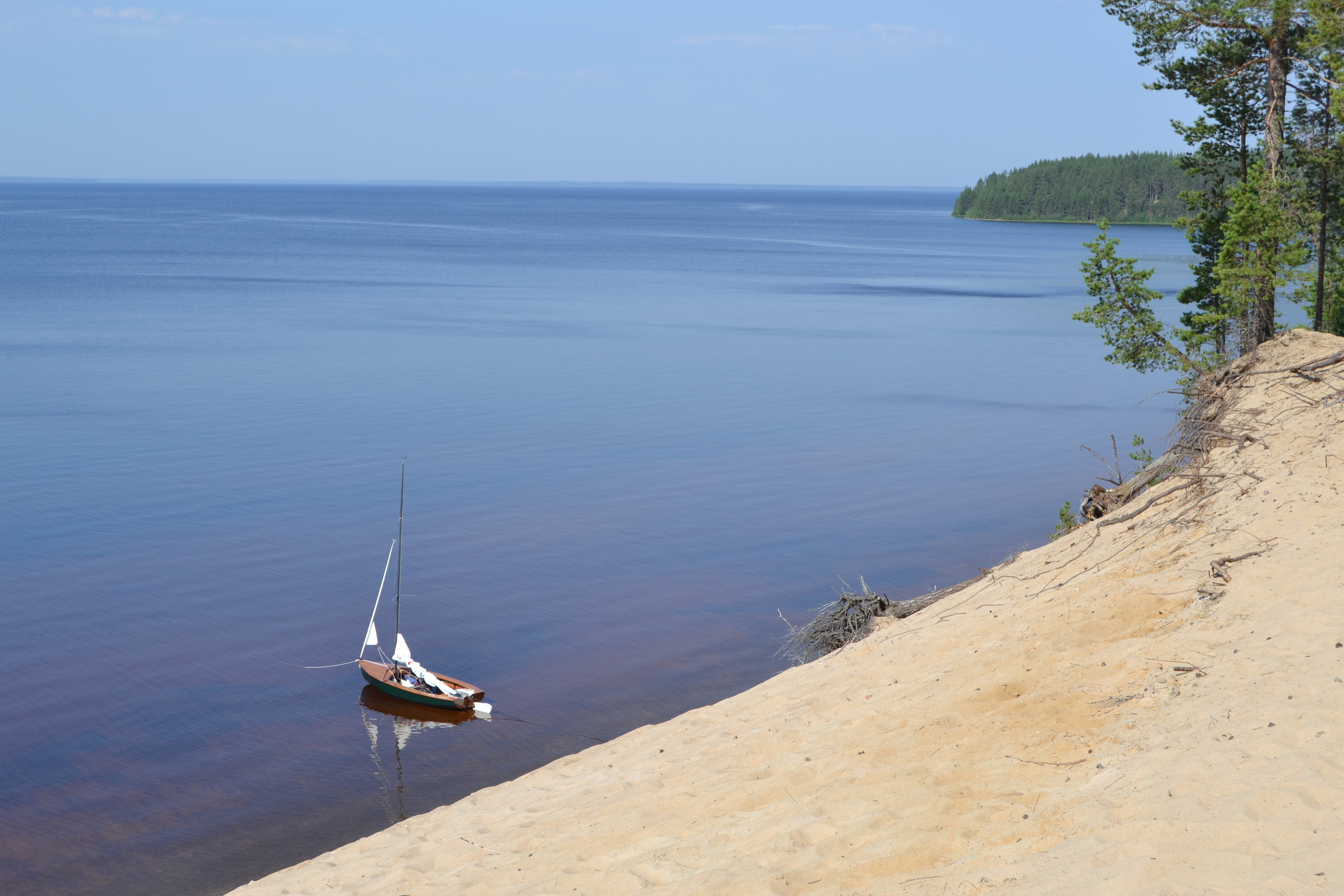
Around half past two we started to be close to Ärjänsaari. The first thing that caught our eye was the most characteristic part of the island, the sandy western shore, the most popular part of which is called “Lentohiekka”. There were many picnic spots enjoying the warm weather.

Around Ärjänsaari island, both to the southwest and northeast, is a remarkably long shallow area of mainly sand. As we approached a headland called Säippä in the southwest, the centreboard started to plough the sandy bottom. We raised the centreboard half up and the rudder fully up. Water depth was less than a metre, but we still continued our journey without any major issues.

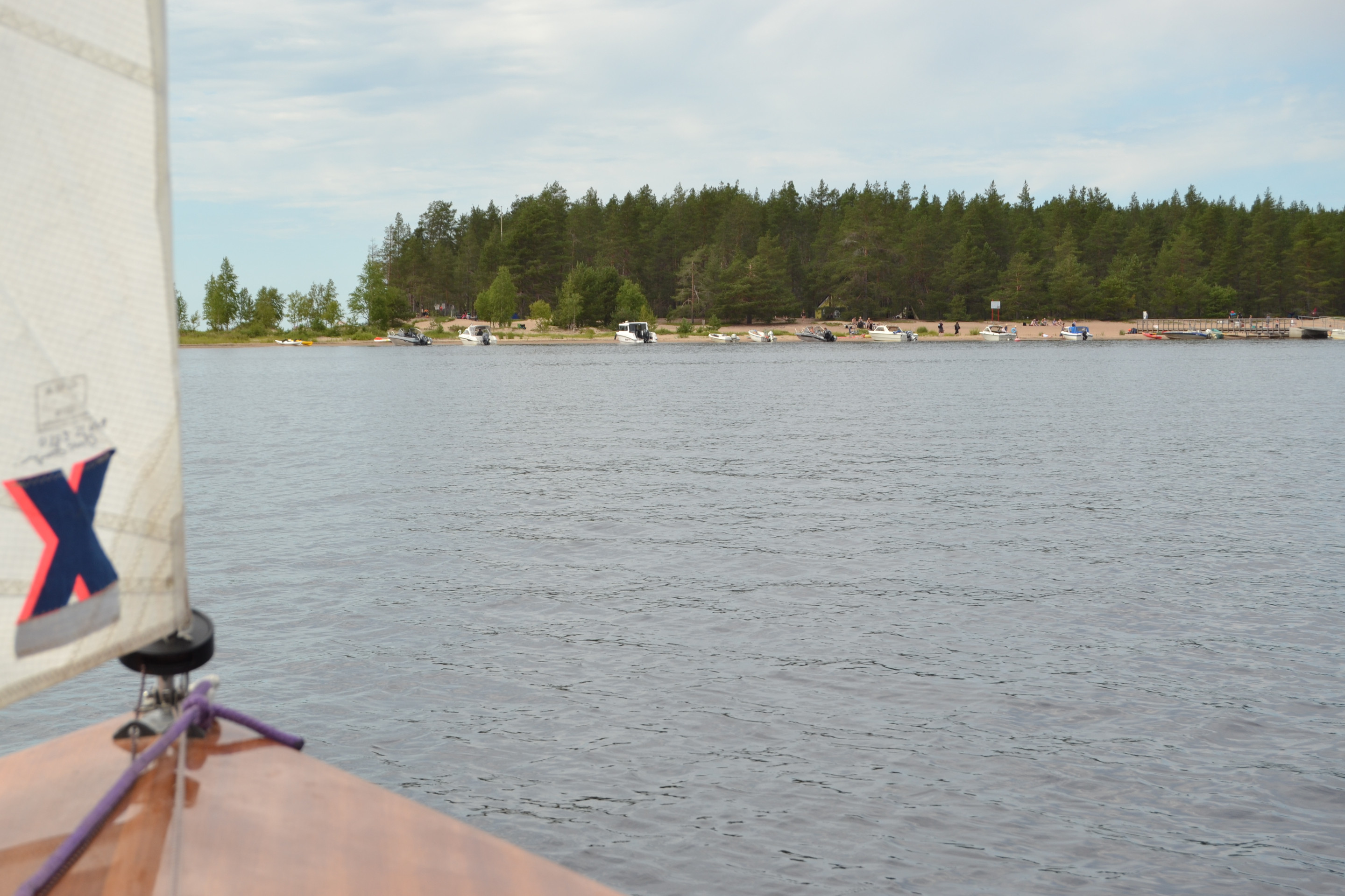
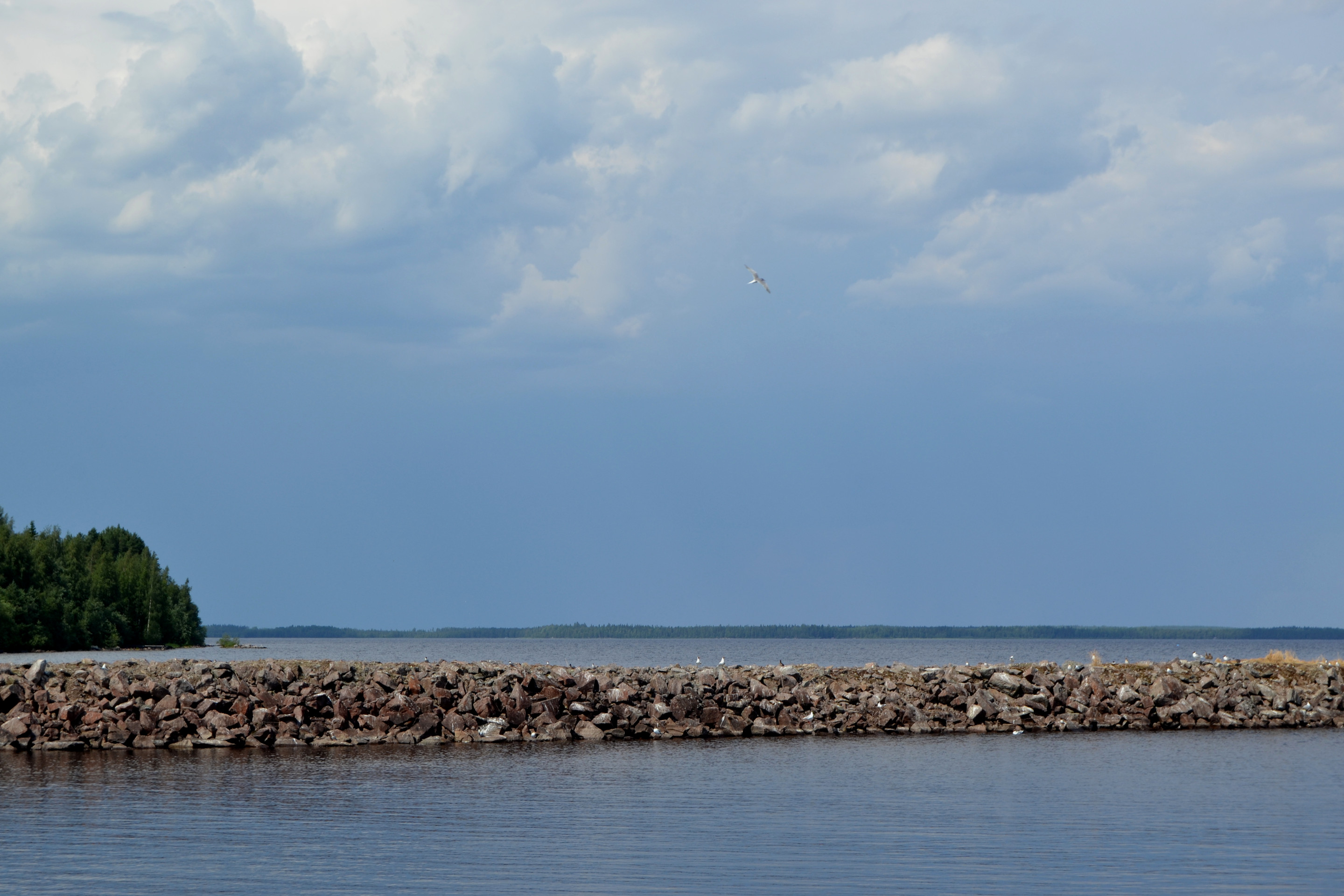
At the official landing site, there were so many boats that you had to think a bit about where you wanted to land. We chose a spot near a cape called Säippä, between two motorboats. We didn’t want to go right to the tip of the cape, as there was a flock of nesting terns that seemed to be on constant alert for encroachment on their territory. However, unlike Kirkkosäikkä cape at the eastern end of the island, the Säippä was not a bird sanctuary.
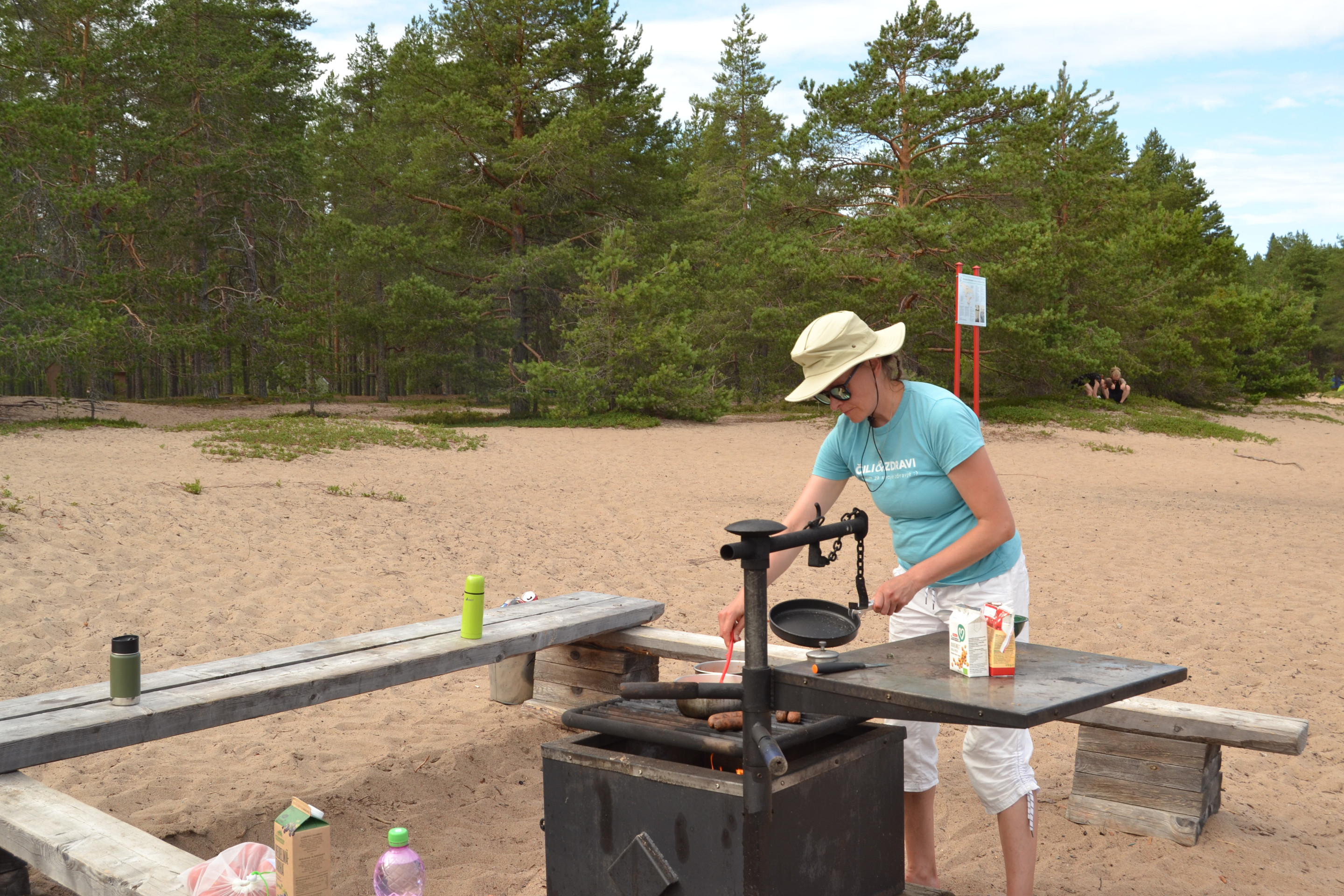
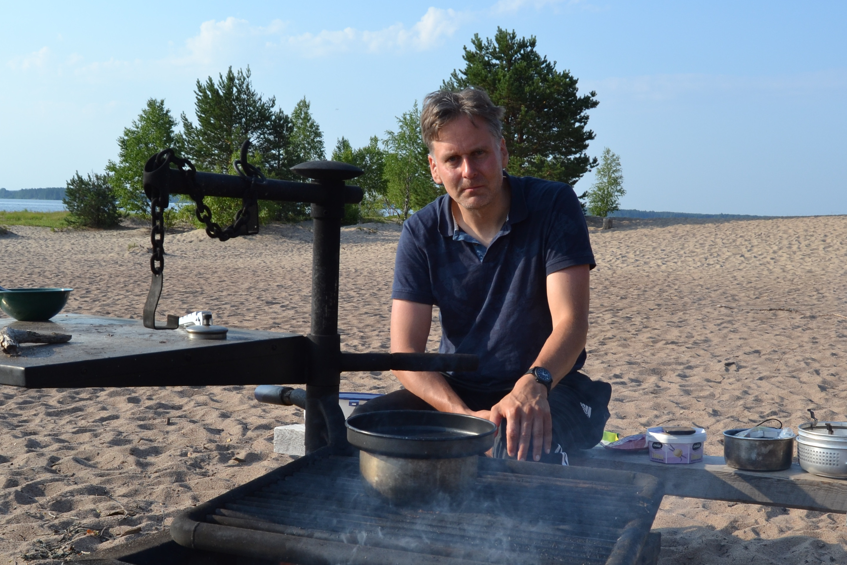
We went to the campfire place to prepare our late lunch, and while there we chatted with a couple of other party members. Locals were able to tell us that the island was rarely as crowded as it was that day.
Ärjänsaari island has quite a colourful history. In the 1700s it was a refuge during the Great War and in the 1800s century it was a base for pirates. Today, the island has more peaceful atmosphere, even at night.
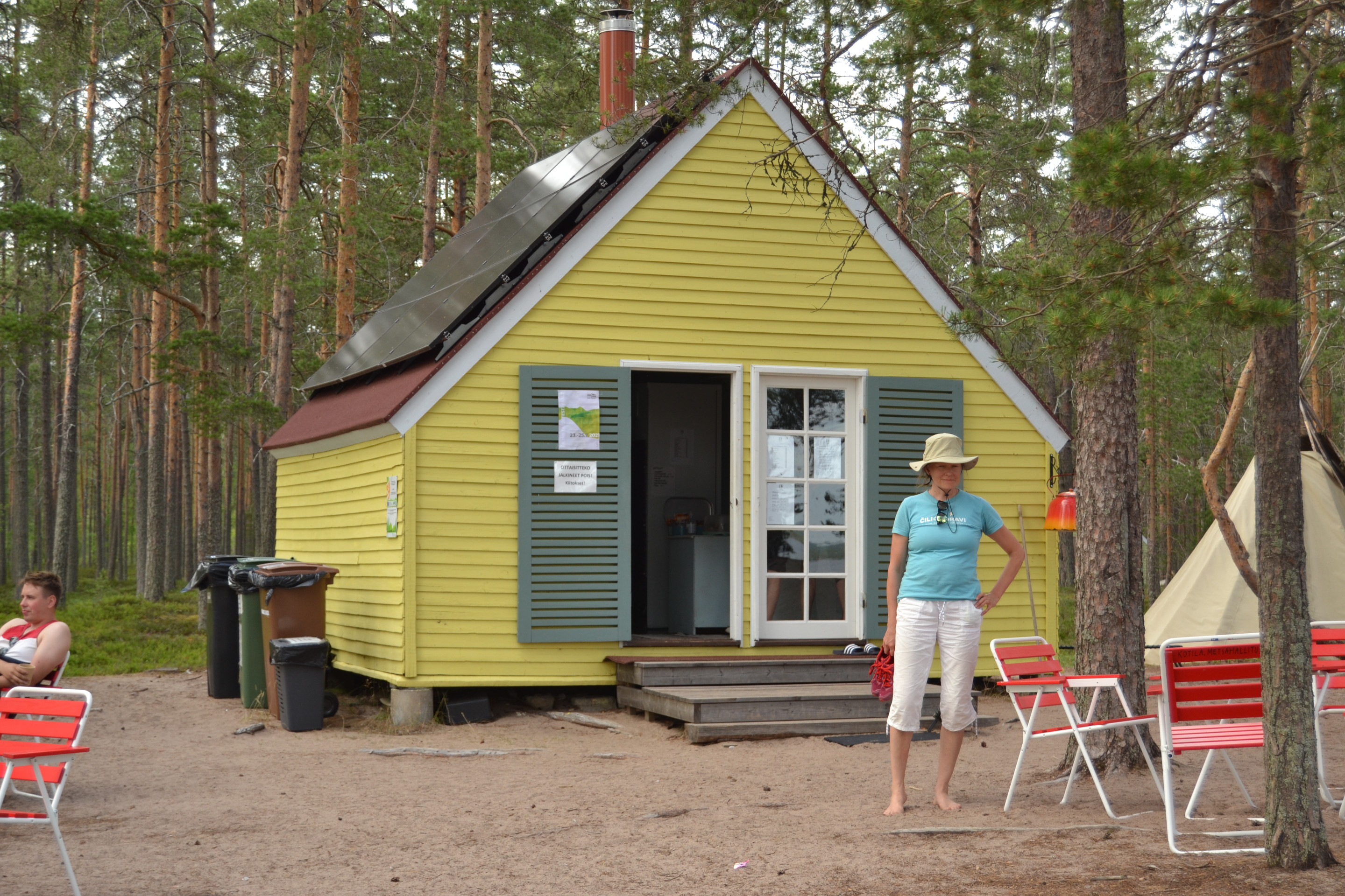
After the meal, we set off to explore the island. The island has a number of holiday cottages built around the middle of the 20th century, which have started to be renovated. One of them has already been completed and is now a café.
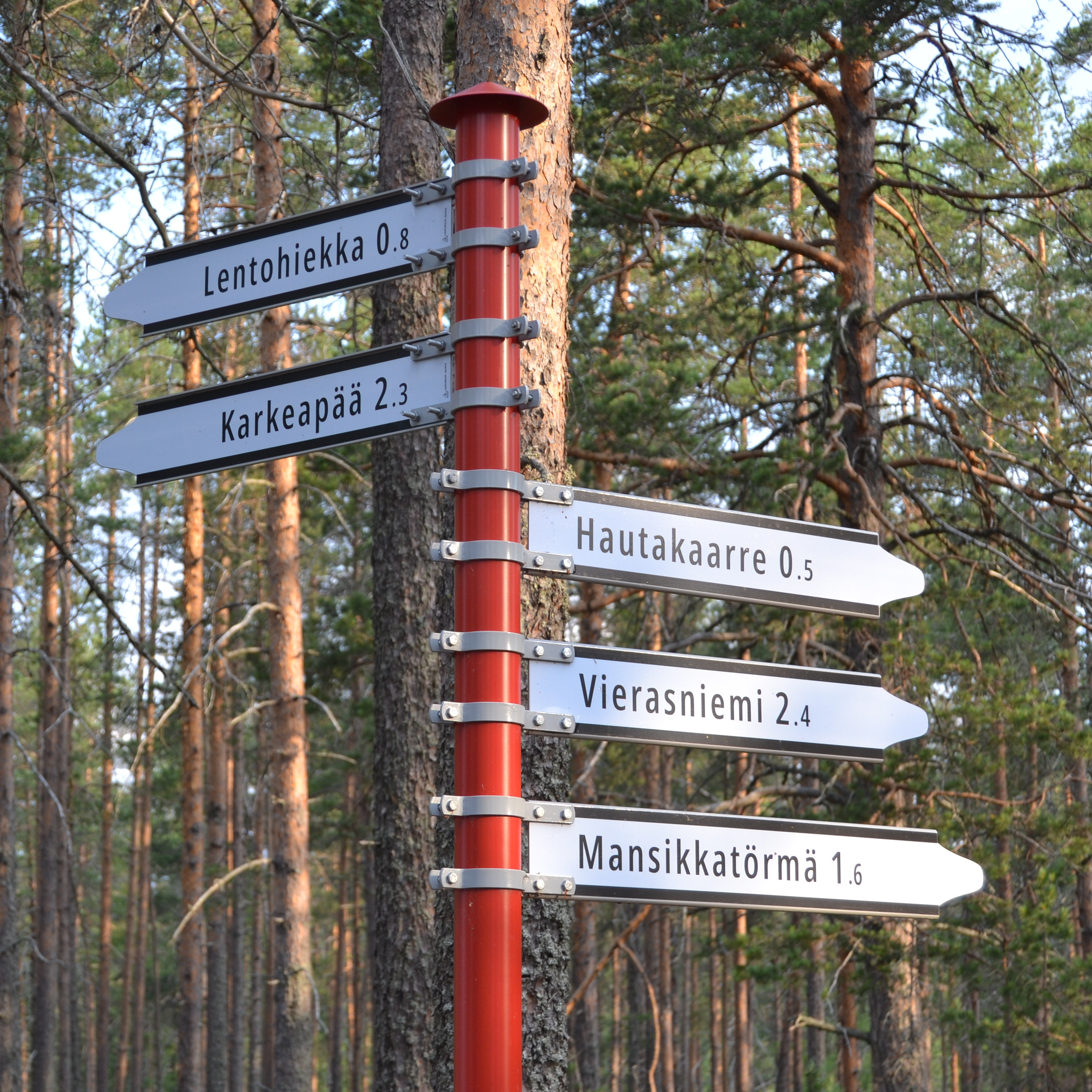
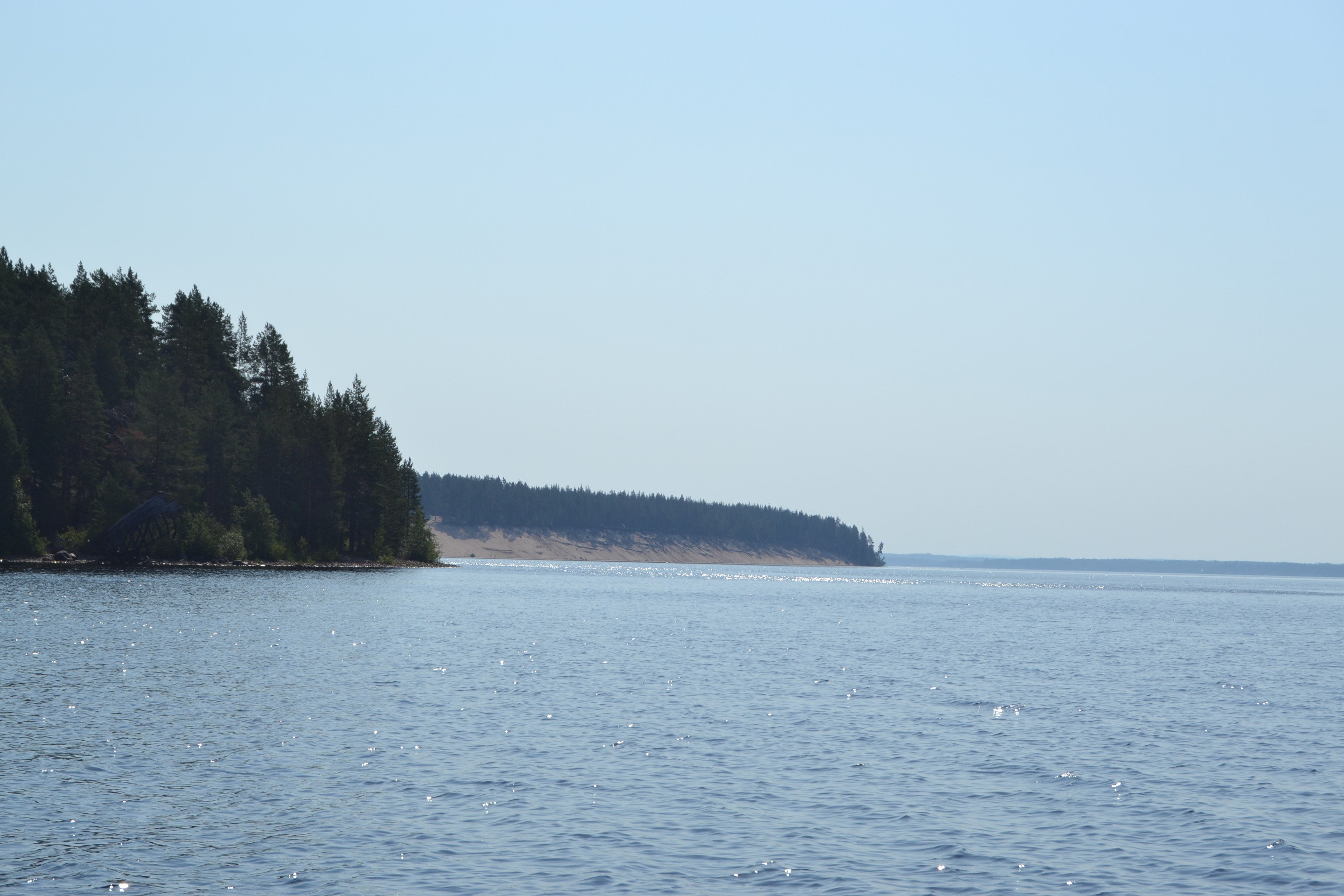
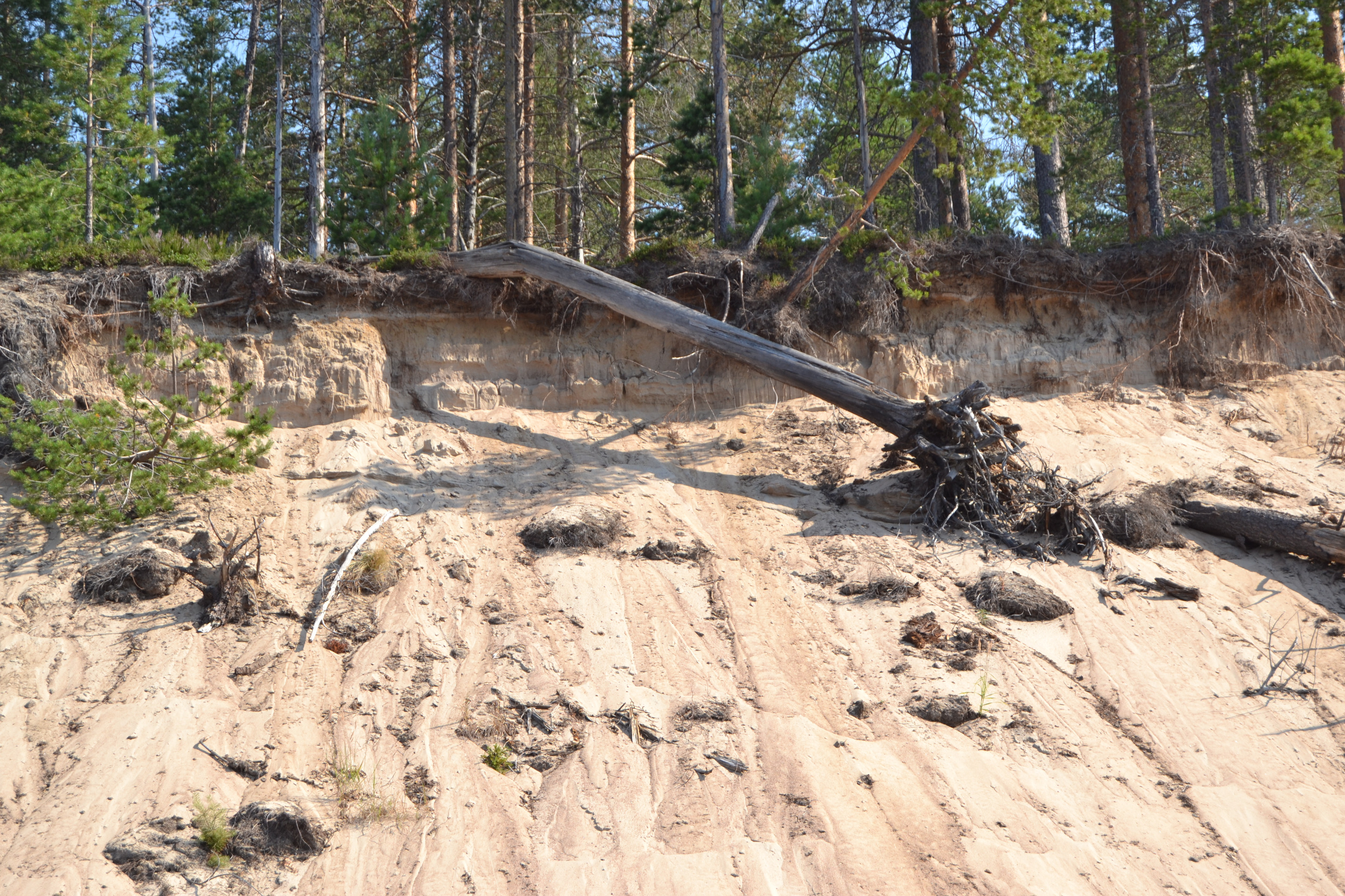
We first walked along the southwestern shore to Lentohiekka (Driftsand) and then forward past the Karkeapää (western tip) fishing hut and shipwreck to Mansikkatörmä (Strawberry Bank). The island’s shoreline is quite impressive to look at from both the top and the bottom of the sandy bank. According to Professor Alpo Räisänen, the name of the island is probably derived from the word ärjänne, which means the edge of a steep bank.


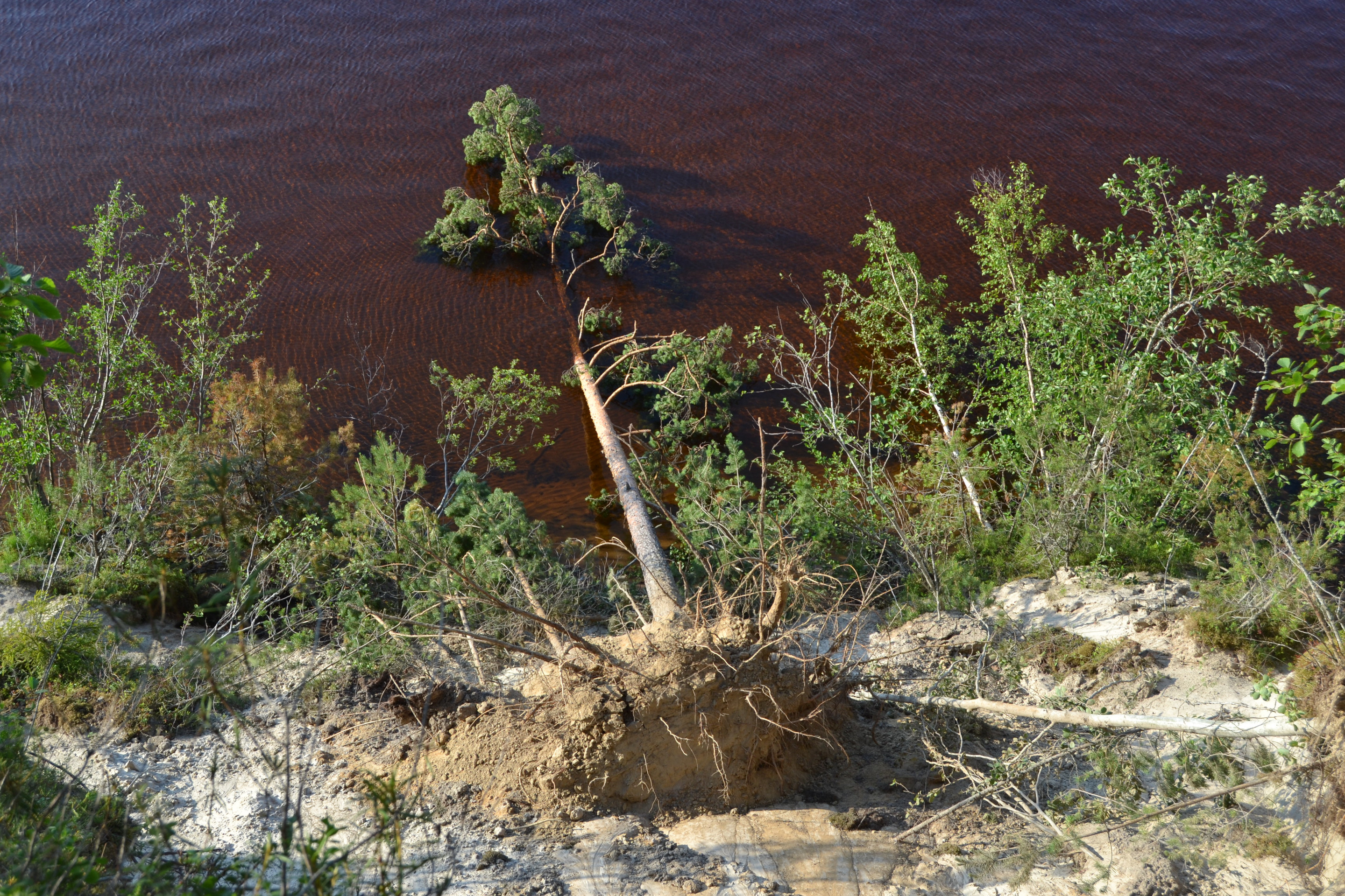
At Mansikkatörmä it was well-visible how the island is slowly “rolling” into the lake. A pine tree had recently fallen with its roots into the water from the edge of the bank, taking a piece of the path with it. Perhaps it was better to think more carefully about where you stepped…
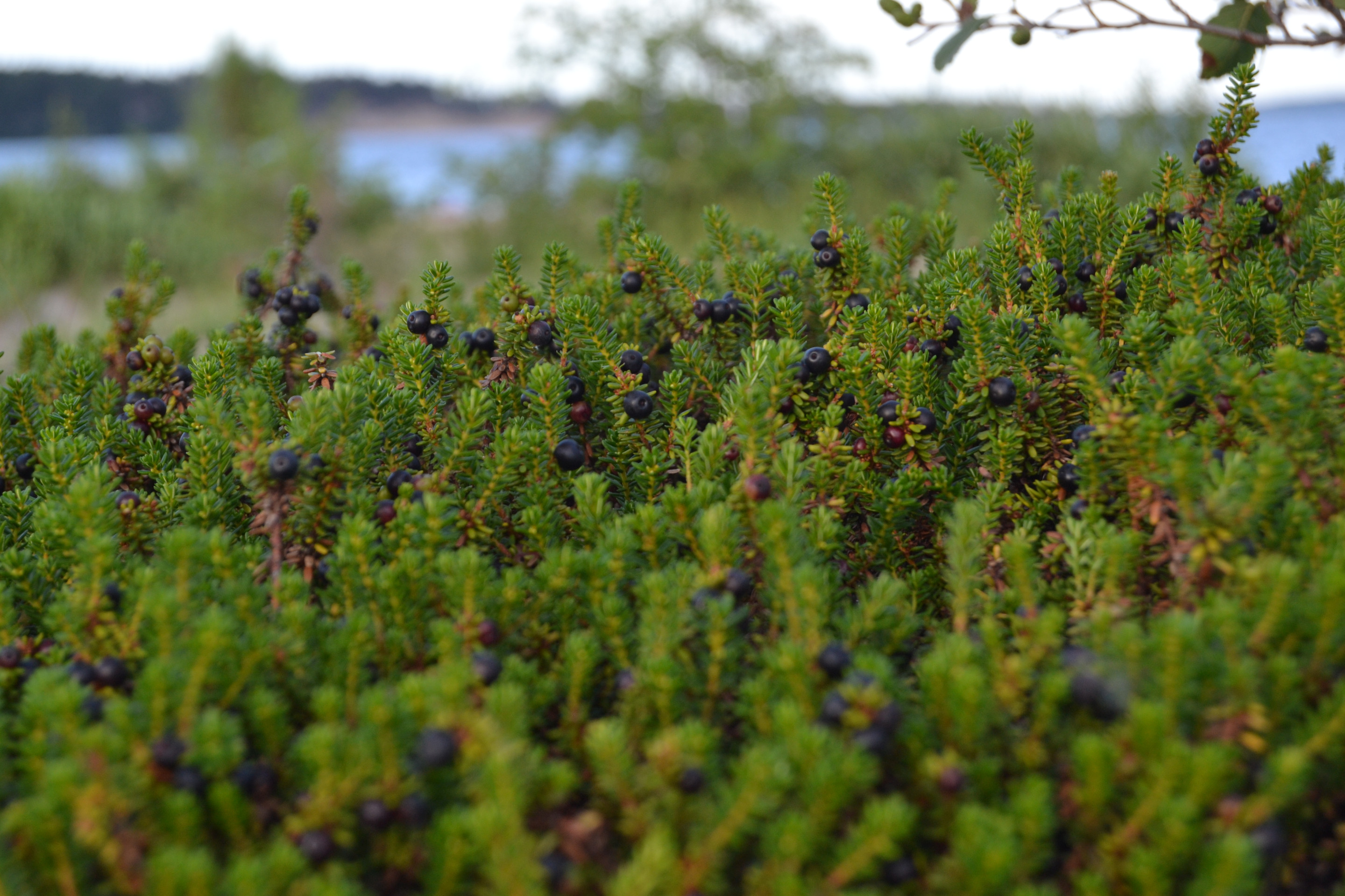
The interior of the island is made up of a handsome stand of pine trees. At one time Ärjänsaari made the news because of a forest industry’s plans to cut down trees, but today the island is owned by Metsähallitus (a governmental organisation). The island is to be turned into a nature reserve.
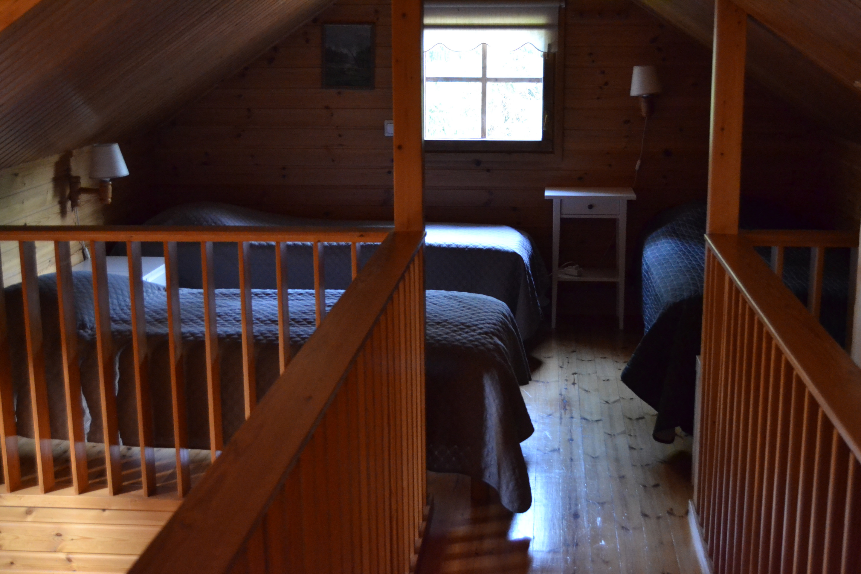
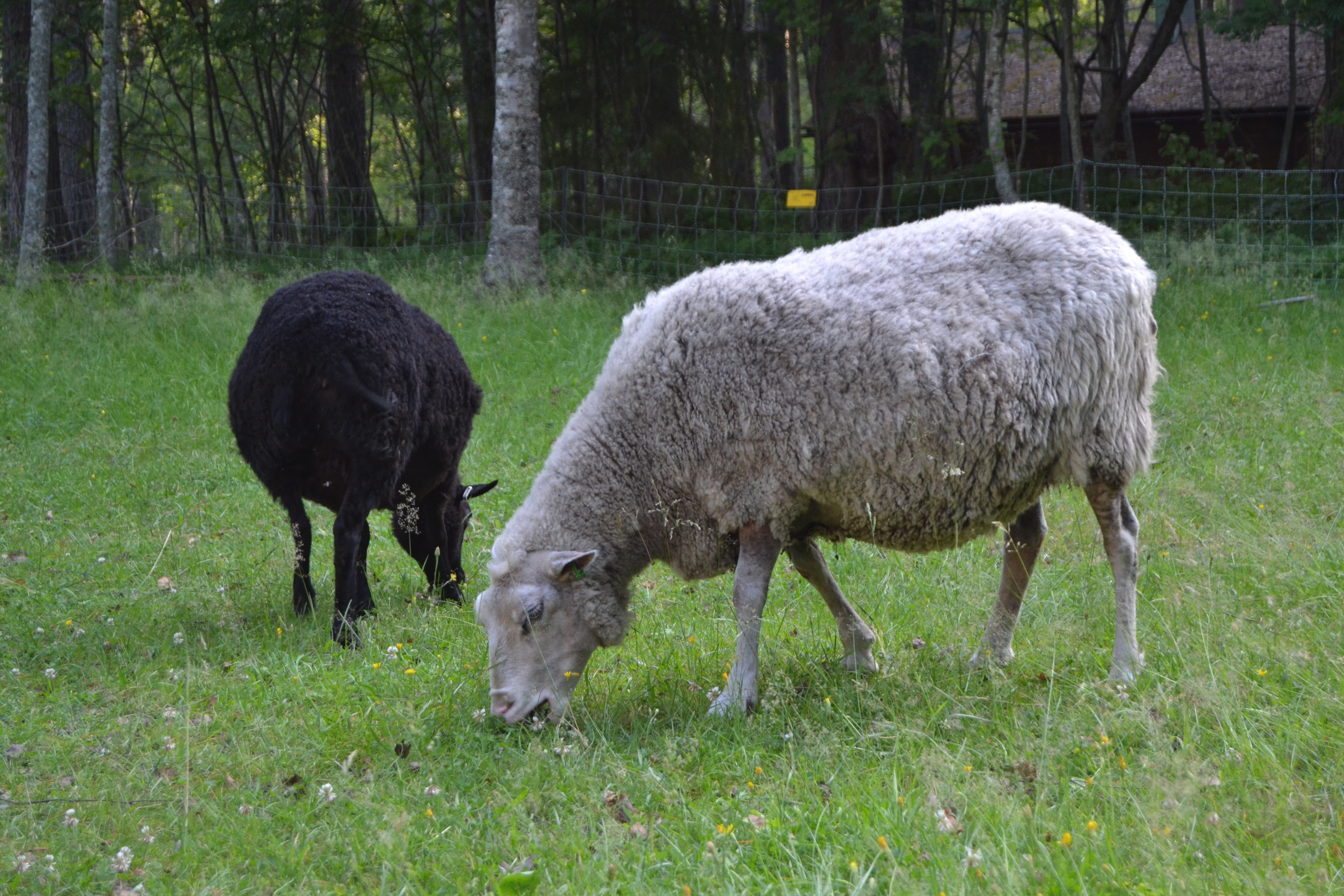
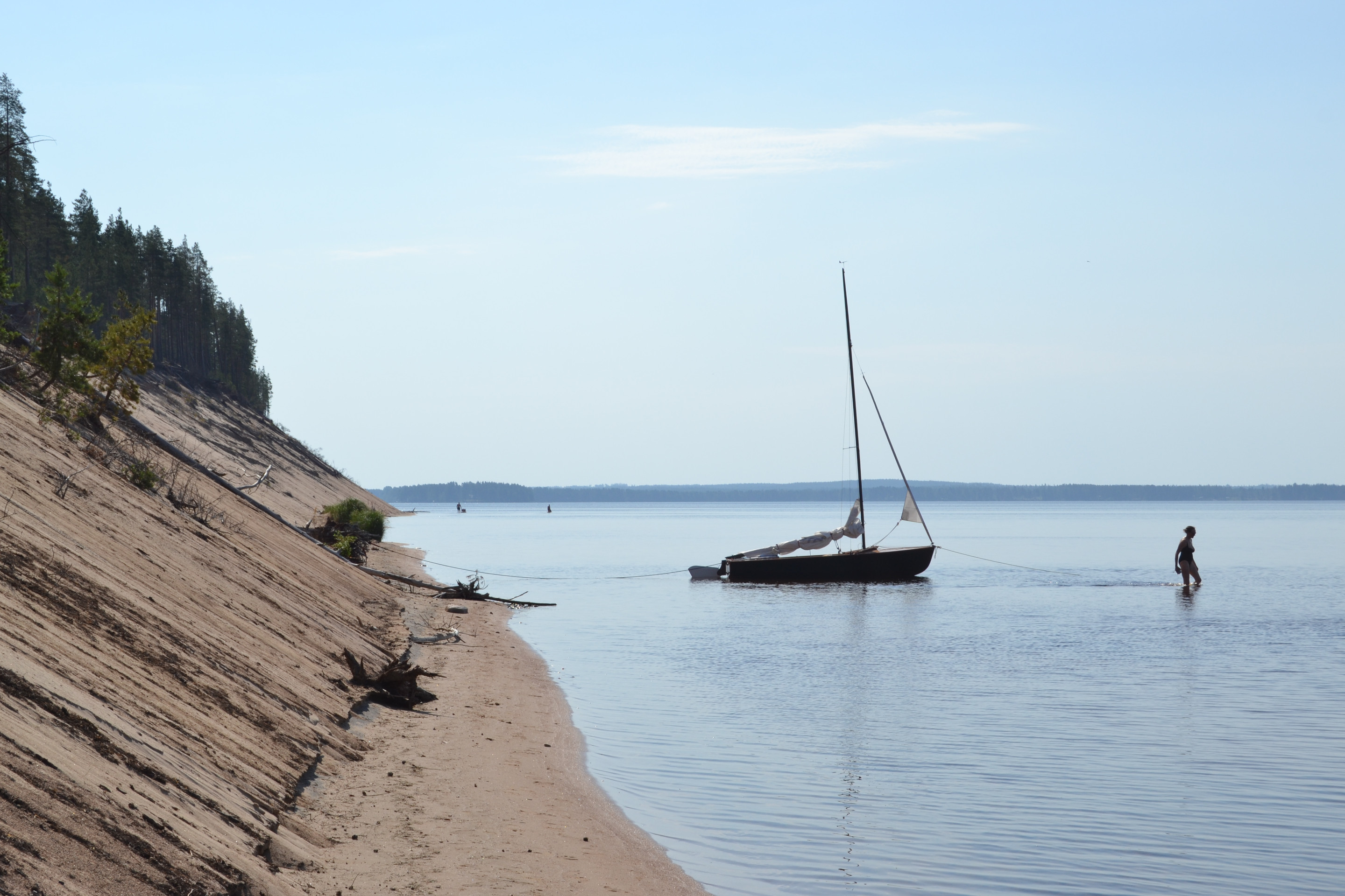
We returned through the sheep pasture near Saunala back to Hautakaarte, the southern sandy beach of the island. The walk in the warmth made us to want to go for a swim after setting up the tent.
Swimming in 24°C water was great, but you had to wade over a hundred metres before the water got deep enough. The beach must be a dream place for small children to swim. Apparently most of the people who visited the island were day trippers, as only a small number of boats were on the beach overnight. Some of them must have also returned on the connecting ferry.
Oulujärvinjärvi is so far north that even in early July, the sun didn’t set until after eleven and rises after three in the morning. We went to bed before ten at the end of a exhausting day.
We were able to eat breakfast in peace, as most people seemed to be morning sleepy. After the meal we packed the tent and our stuff into the boat.
We raised anchor around 8:30 am, then sailed around the island towards Lentohiekka. The journey progressed at a speed of about three knots with the sun shining from a cloudless sky. The wind was blowing from the southeast at about 3 m/s.
We sailed to the front of Mansikkatörmä, where the island turned the wind so that we were able to broad reach. It was quite nice to watch from the water the beach where we had walked the day before.

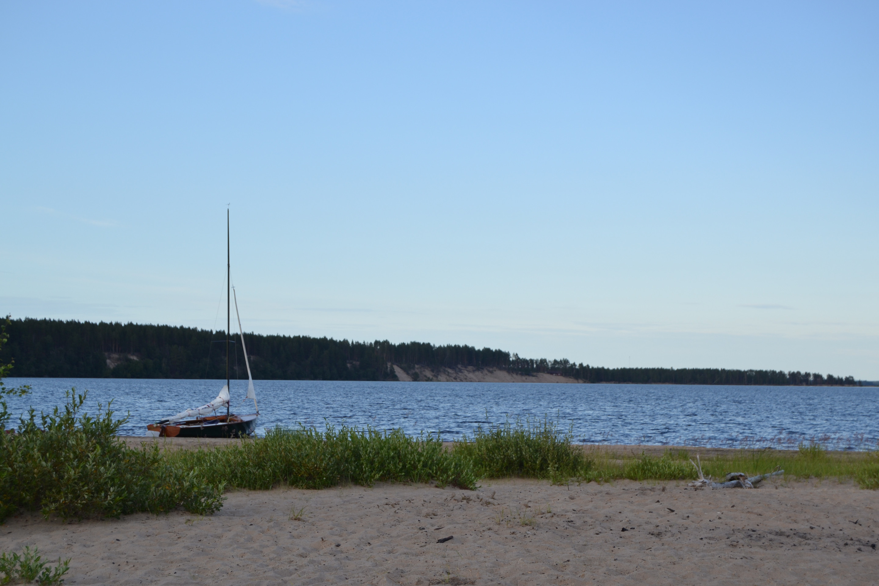
We sailed around Karkeapää and landed near Lentohiekka. The bottom was partly small flat rock and partly fine sand.
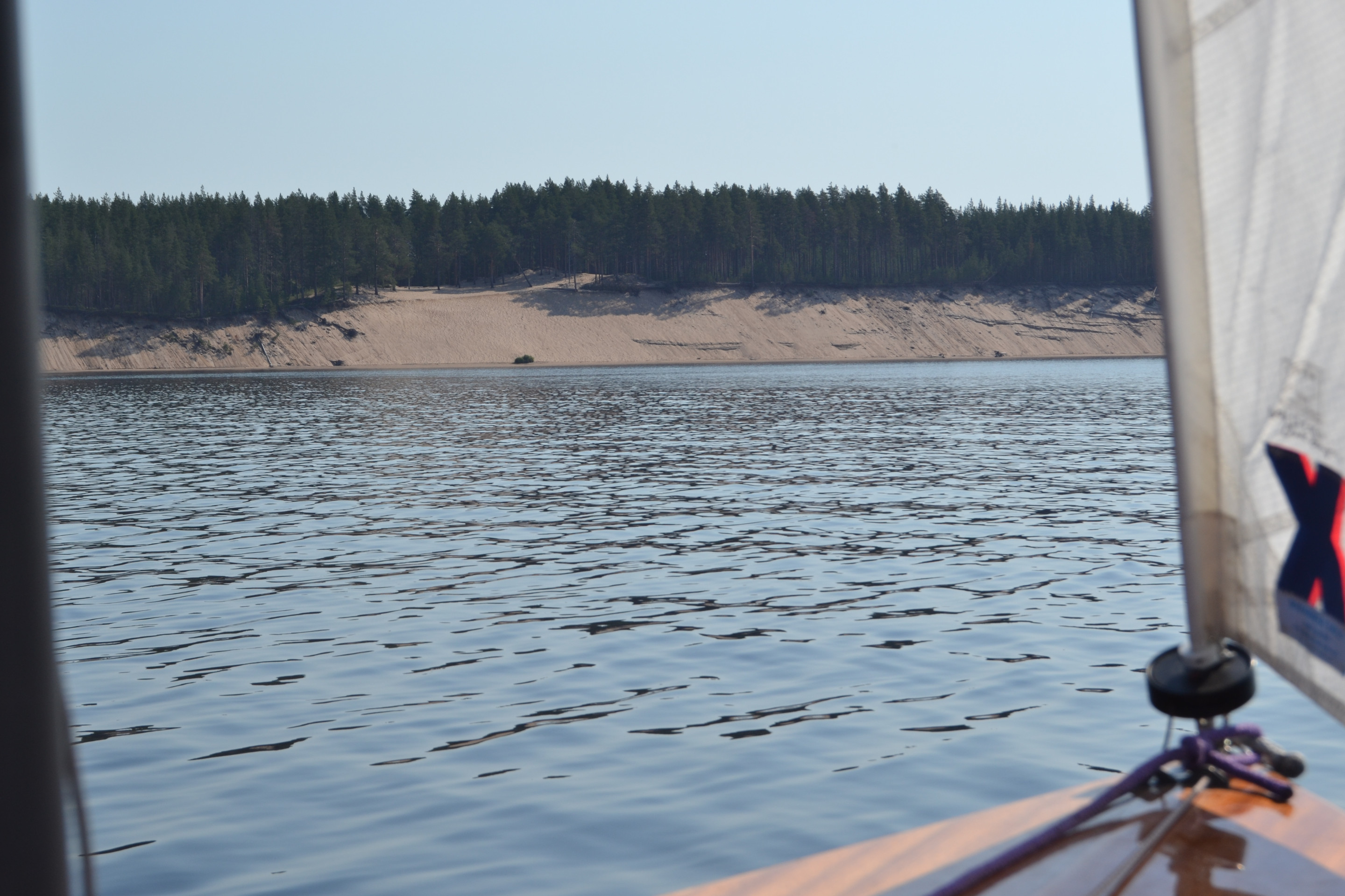
We headed ashore to explore Lentohiekka in more detail. It is a sand bank with very fine sand. According to a local couple, when the wind is strong, the sand is said to be carried by the wind. The warm, fine sand felt very pleasant under our feet.
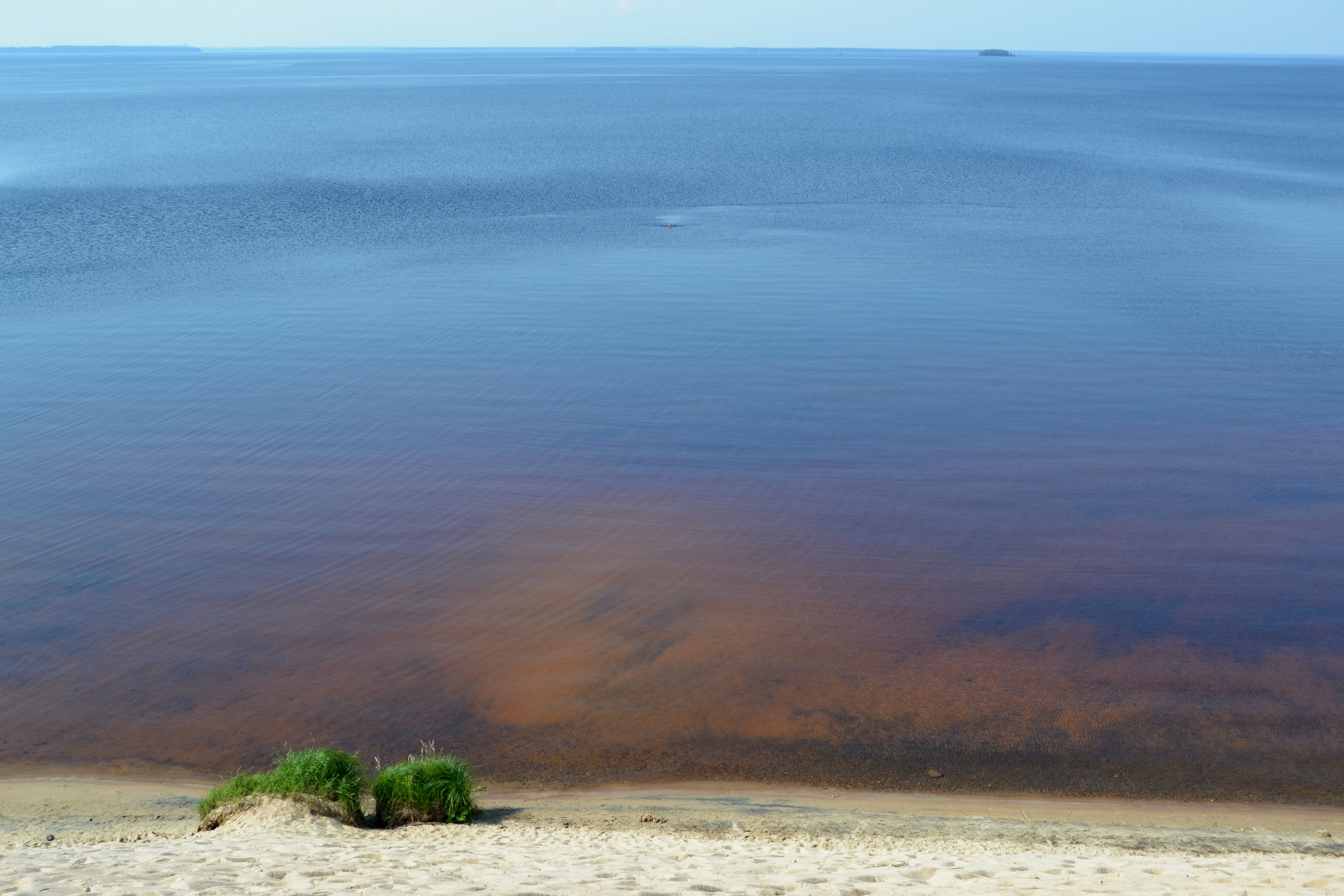
The water in Oulujärvijärvi is clearly murkier than Saimaa, which you could tell by the reddish colour of the bottom and the fact that into the water you could not see a metre deeper. Could the colour be due to humus carried away by the drying of the marshes or something else? Either way, the water of Oulujärvi was very pleasant to swim in on a hot summer’s day.
After swimming, we headed back along Ärjänselkä. At first the wind was calm, but at Vuottolahti on the southern shore of the lake the wind between south-east and south increased to about 14 knots, and in gusts certainly to more than ten. According to the recorded GPX file, our top speed was 6.7 knots, so we were planing.
After passing Vuottoniemi, the prevailing wind strength weakened slightly, but the gustiness and shiftiness continued. The whole return trip was accomplished in one hail.
Before arriving at Kuusiranta harbour, distant thunder began to rumble from the west as the sky became darker. With strong gusts, we swung between the big breakwaters and set sail.

As we packed the boat, we watched the western sky, which gradually cleared. Thunder had not come on, but was apparently heading north. Once the boat was packed and under its cover, we started the drive back home.
Ärjänsaari is one of the finest islands we have visited so far. In fact, I don’t think there is another island like it in Finland. On a warm summer day, Ärjänsaari is the perfect destination for those who enjoy swimming in fresh water and spending time on sandy beaches, but the island’s nature is also rewarding to explore. Overall, the trip to Oulujärvi was a great experience that we will remember for many years to come. It is not unlikely that we return there sometime in the future.